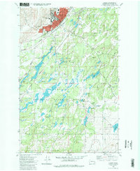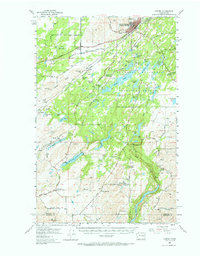
1980 Map of Cheney
USGS Topo · Published 1981About this map
Cheney serves as the focal point of this 1980 survey, anchored by the campus of Eastern Washington University and the residential neighborhoods surrounding Salnave Park. The town's layout and growth are inextricably linked to the intersecting lines of the Burlington Northern and Union Pacific railroads, which cut through the heart of the settlement. Southwest of the urban center, the landscape shifts abruptly into the water-rich expanses of the Turnbull National Wildlife Refuge. This complex network of marshes, ponds, and lakes, including Long Lake, Stubblefield Lake, and the Turnbull Slough, illustrates the unique Channeled Scablands geology of the region. Local heritage is preserved at the Fairview and New England cemeteries, while industrial activity is noted at scattered locations like the Gravel Pit near the rail junction. The map also documents essential infrastructure such as the Betz School and the Refuge Headquarters, marking the transition from a university town to a managed wilderness.
Find a feature on this map
50 named features on this map. Tap any name to fly to it.
Don’t see what you’re looking for? This feature index may not catch every label — zoom into the map to look around manually.
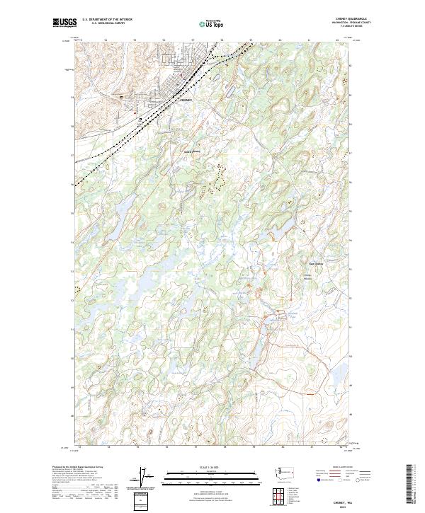
Map Details
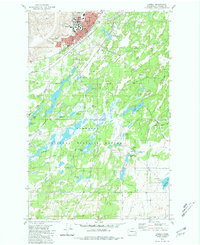
Editions of this 1980 Cheney Map
2 editions found