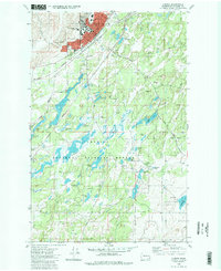
1980 Map of Cheney
USGS Topo · Published 1981About this map
Eastern Washington University anchors the northern portion of this landscape, situated alongside the expanding street grid of Cheney. The town’s early history is visible in the placement of Fairview Cem and New England Cem, while the Burlington Northern railroad tracks cut a diagonal path through the terrain, connecting the urban center to the outlying prairie. South of the city, the landscape shifts dramatically into the wetlands and basalt scablands of the Turnbull National Wildlife Refuge.
Find a feature on this map
46 named features on this map. Tap any name to fly to it.
Don’t see what you’re looking for? This feature index may not catch every label — zoom into the map to look around manually.
Map Details
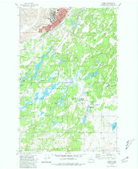
Editions of this 1980 Cheney Map
2 editions found
Other maps of this area

1901 · Spokane
USGS Topo · 1:125,000

1903 · Oakesdale
USGS Topo · 1:125,000

1905 · Oakesdale
USGS Topo · 1:125,000

1943 · Medical Lake
USGS Topo · 1:62,500

1950 · Spokane SW
USGS Topo · 1:24,000

1950 · Spokane
USGS Topo · 1:62,500

1954 · Medical Lake
USGS Topo · 1:24,000

1954 · Medical Lake
USGS Topo · 1:62,500

1954 · Cheney
USGS Topo · 1:62,500

1954 · Spangle
USGS Topo · 1:62,500