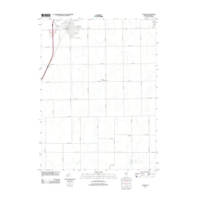
2012 Map of Chenoa
USGS Topo · Published 2012About this map
Chenoa serves as the primary urban center for this section of McLean County, characterized by a traditional grid of residential streets like Illinois St and Boles Ave. The settlement's infrastructure includes a centrally located Po and the nearby Chenoa Cem, while the surrounding landscape is defined by the organized geometry of rural township roads. Beyond the town limits, the terrain is marked by the winding paths of Rooks Cr, Patton Cr, and Henline Cr, which cut through the agricultural sections. A notable aviation landmark, the Mays Aviation Airport, appears along the central corridor, and the legacy of early automobile travel is visible via Old Hwy 66, which runs parallel to modern transport routes.
Find a feature on this map
45 named features on this map. Tap any name to fly to it.
Don’t see what you’re looking for? This feature index may not catch every label — zoom into the map to look around manually.
Map Details
Editions of this 2012 Chenoa Map
This is the sole edition of this map. No revisions or reprints were ever made.
Other maps of this area

1926 · Normal
USGS Topo · 1:62,500

1930 · Normal
USGS Topo · 1:62,500

1935 · Pontiac
USGS Topo · 1:62,500

1939 · Pontiac
USGS Topo · 1:62,500

1957 · Colfax
USGS Topo · 1:62,500

1958 · Flanagan
USGS Topo · 1:62,500

1958 · Peoria
USGS Topo · 1:250,000

1961 · Peoria
USGS Topo · 1:250,000

1963 · Peoria
USGS Topo · 1:250,000

1981 · Lexington
USGS Topo · 1:24,000