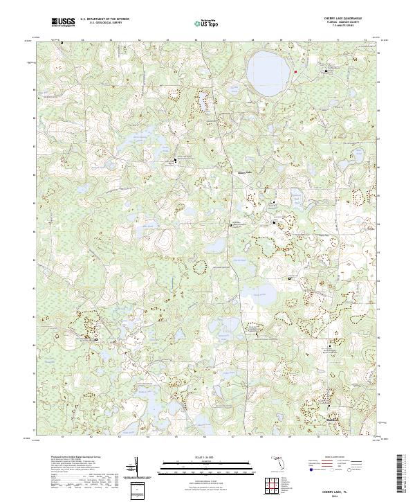
2024 Map of Cherry Lake
USGS Topo · Published 2024About this map
The Farm Service Agency Interest of Florida occupies a significant portion of this North Florida landscape, illustrating the region's managed agricultural and conservation footprint north of Madison. The area around Cherry Lake is characterized by a dense concentration of historical faith and family landmarks, particularly cemeteries and churches that serve as cornerstones for local genealogy. The map identifies several denominational sites, including the Cherry Lake United Methodist Church Cem and Mount Zion A M E Church Cem, reflecting the area's diverse community heritage.
Find a feature on this map
125 named features on this map. Tap any name to fly to it.
Don’t see what you’re looking for? This feature index may not catch every label — zoom into the map to look around manually.
Map Details
Editions of this 2024 Cherry Lake Map
This is the sole edition of this map. No revisions or reprints were ever made.
Other maps of this area

1954 · Greenville NE
USGS Topo · 1:24,000

1954 · Valdosta
USGS Topo · 1:250,000

1956 · Clyattville
USGS Topo · 1:24,000

1956 · Nankin
USGS Topo · 1:24,000

1956 · Baden
USGS Topo · 1:24,000

1958 · Valdosta
USGS Topo · 1:250,000

1958 · Lee
USGS Topo · 1:24,000

1959 · Valdosta
USGS Topo · 1:250,000

1959 · Madison
USGS Topo · 1:24,000

1960 · Cherry Lake
USGS Topo · 1:24,000