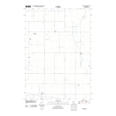
2010 Map of Chester
USGS Topo · Published 2010About this map
The settlement of Viola and the nearby community of Chester anchor this agricultural landscape in eastern Olmsted County. The terrain is defined by the branching waterways of the North Fork Whitewater River, Silver Creek, and Dry Creek, which cut through a network of section-line roads and rural homesteads. This 2010 survey highlights a deeply established rural infrastructure, evidenced by numerous burial grounds including Saint John's Lutheran Cemetery, Haverhill Cemetery, and Oak Hill Cemetery.
Find a feature on this map
41 named features on this map. Tap any name to fly to it.
Don’t see what you’re looking for? This feature index may not catch every label — zoom into the map to look around manually.
Map Details
Editions of this 2010 Chester Map
This is the sole edition of this map. No revisions or reprints were ever made.
Other maps of this area

1934 · Plainview
USGS Topo · 1:62,500

1935 · Rochester
USGS Topo · 1:48,000

1938 · Plainview
USGS Topo · 1:62,500

1939 · Rochester
USGS Topo · 1:62,500

1953 · Saint Paul
USGS Topo · 1:250,000

1954 · Chatfield
USGS Topo · 1:62,500

1954 · Mason City
USGS Topo · 1:250,000

1955 · Stewartville
USGS Topo · 1:62,500

1957 · Mason City
USGS Topo · 1:250,000

1958 · Mason City
USGS Topo · 1:250,000