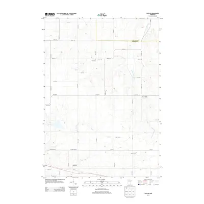
2013 Map of Chester
USGS Topo · Published 2013About this map
Chester and Viola define the rural character of this landscape at the Olmsted and Wabasha county line. The terrain is deeply carved by the North Fork Whitewater River in the east, while Silver Cr and Dry Cr trace through the rolling agricultural uplands to the west. A high concentration of burial grounds, including Saint John's Lutheran Cem, Randall Fork Cem, and Haverhill Cem, suggests the deep roots of early farming families across these townships.
Find a feature on this map
28 named features on this map. Tap any name to fly to it.
Don’t see what you’re looking for? This feature index may not catch every label — zoom into the map to look around manually.
Map Details
Editions of this 2013 Chester Map
This is the sole edition of this map. No revisions or reprints were ever made.
Other maps of this area

1934 · Plainview
USGS Topo · 1:62,500

1935 · Rochester
USGS Topo · 1:48,000

1938 · Plainview
USGS Topo · 1:62,500

1939 · Rochester
USGS Topo · 1:62,500

1953 · Saint Paul
USGS Topo · 1:250,000

1954 · Chatfield
USGS Topo · 1:62,500

1954 · Mason City
USGS Topo · 1:250,000

1955 · Stewartville
USGS Topo · 1:62,500

1957 · Mason City
USGS Topo · 1:250,000

1958 · Mason City
USGS Topo · 1:250,000