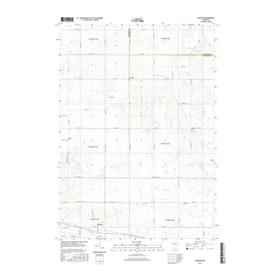
2016 Map of Chester
USGS Topo · Published 2016About this map
Viola and Chester anchor this agricultural landscape in southeastern Minnesota, where the drainage of the N Fork Whitewater River carves through the rolling upland. The map reveals a high density of small rural burial grounds, providing a significant resource for genealogical research. Notable sites include Saint John's Lutheran Cem and the Randall-Fork Cem, which are scattered throughout the sections alongside smaller waters like Silver Cr and Dry Cr. This 2016 survey documents the modern road network, including Co Hwy 14 and College View Rd E, while maintaining the grid system established by the Public Land Survey. The northern border of Olmsted and Wabasha counties runs through the upper third of the quadrangle, reflecting the administrative boundaries that have shaped local land ownership for generations.
Find a feature on this map
40 named features on this map. Tap any name to fly to it.
Don’t see what you’re looking for? This feature index may not catch every label — zoom into the map to look around manually.
Map Details
Editions of this 2016 Chester Map
This is the sole edition of this map. No revisions or reprints were ever made.
Other maps of this area

1934 · Plainview
USGS Topo · 1:62,500

1935 · Rochester
USGS Topo · 1:48,000

1938 · Plainview
USGS Topo · 1:62,500

1939 · Rochester
USGS Topo · 1:62,500

1953 · Saint Paul
USGS Topo · 1:250,000

1954 · Chatfield
USGS Topo · 1:62,500

1954 · Mason City
USGS Topo · 1:250,000

1955 · Stewartville
USGS Topo · 1:62,500

1957 · Mason City
USGS Topo · 1:250,000

1958 · Mason City
USGS Topo · 1:250,000