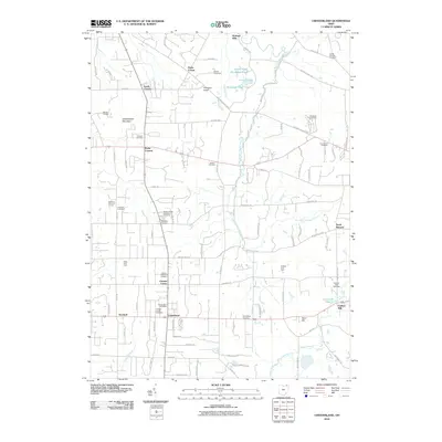
2010 Map of Chesterland
USGS Topo · Published 2010About this map
Holden Arboretum spans a significant portion of this landscape, framing the headwaters of Pierson Creek and Foster Pond. The terrain is defined by the drainage of the East Branch Chagrin River, which flows through the heart of the area near Kirtland Hills and Fowlers Mill. To the west, the elevation rises sharply at Gildersleeve Mountain, overlooking a mix of agricultural land and suburban growth in Chesterland and Scotland.
Find a feature on this map
93 named features on this map. Tap any name to fly to it.
Don’t see what you’re looking for? This feature index may not catch every label — zoom into the map to look around manually.
Map Details
Editions of this 2010 Chesterland Map
This is the sole edition of this map. No revisions or reprints were ever made.
Other maps of this area

1904 · Chardon
USGS Topo · 1:62,500

1905 · Garrettsville
USGS Topo · 1:62,500

1905 · Mentor
USGS Topo · 1:62,500

1906 · Chardon
USGS Topo · 1:62,500

1906 · Chagrin Falls
USGS Topo · 1:62,500

1907 · Garrettsville
USGS Topo · 1:62,500

1907 · Mentor
USGS Topo · 1:62,500

1908 · Chagrin Falls
USGS Topo · 1:62,500

1950 · Cleveland
USGS Topo · 1:250,000

1953 · Chardon
USGS Topo · 1:24,000