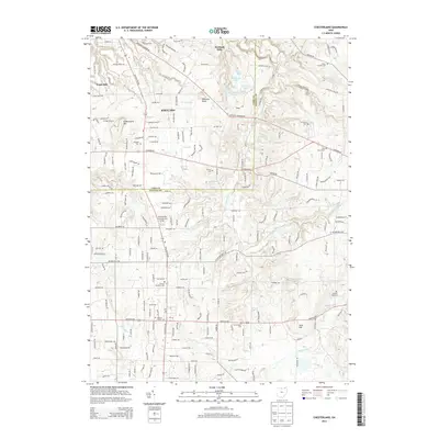
2013 Map of Chesterland
USGS Topo · Published 2013About this map
Kirtland and the surrounding woodlands of Lake and Geauga counties are defined by a complex network of glacial ponds and the winding Chagrin River. This 2013 landscape is dotted with numerous burial grounds of significant genealogical value, including the Old Settlers Cem and the Chester Township Cem. The topography is anchored by prominent elevations such as Gildersleeve Mtn and Piersons Knob, while the northern portion features a series of private lakes and ponds including Corning Lake, Blueberry Pond, and Hourglass Pond. The drainage pattern of the East Br Chagrin River cuts through the eastern half of the quadrangle, illustrating the natural watercourses that have historically shaped the settlement patterns of Waite Hill and Kirtland Hills. This modern survey provides a precise look at the residential expansion and preserved open spaces in this region of Northeast Ohio.
Find a feature on this map
181 named features on this map. Tap any name to fly to it.
Don’t see what you’re looking for? This feature index may not catch every label — zoom into the map to look around manually.
Map Details
Editions of this 2013 Chesterland Map
This is the sole edition of this map. No revisions or reprints were ever made.
Other maps of this area

1904 · Chardon
USGS Topo · 1:62,500

1905 · Garrettsville
USGS Topo · 1:62,500

1905 · Mentor
USGS Topo · 1:62,500

1906 · Chardon
USGS Topo · 1:62,500

1906 · Chagrin Falls
USGS Topo · 1:62,500

1907 · Garrettsville
USGS Topo · 1:62,500

1907 · Mentor
USGS Topo · 1:62,500

1908 · Chagrin Falls
USGS Topo · 1:62,500

1950 · Cleveland
USGS Topo · 1:250,000

1953 · Chardon
USGS Topo · 1:24,000