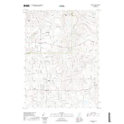
2019 Map of Chesterland
USGS Topo · Published 2019About this map
Chesterland and Kirtland anchor this Lake and Geauga County landscape, where the East Branch Chagrin River carves a path through the rolling corridor of Northeast Ohio. The topography is defined by significant rises like Gildersleeve Mtn and Piersons Knob, overlooking a network of smaller water bodies including Hourglass Pond, Blueberry Pond, and Sycamore Lake. The map reveals a dense layering of local history through its many burial grounds, ranging from the central Chester Township Cem to the Settlers Cem and the sprawling All Souls Cem. The transition from rural crossroads like Pecks Corners and Scotland to established centers such as Chester Center reflects the long-term settlement patterns of the Western Reserve. Significant road networks like Chardon Rd and Chillicothe Rd connect these communities, while the course of Griswold Cr adds further detail to the drainage basin of the larger Chagrin River system.
Find a feature on this map
77 named features on this map. Tap any name to fly to it.
Don’t see what you’re looking for? This feature index may not catch every label — zoom into the map to look around manually.
Map Details
Editions of this 2019 Chesterland Map
This is the sole edition of this map. No revisions or reprints were ever made.
Other maps of this area

1904 · Chardon
USGS Topo · 1:62,500

1905 · Garrettsville
USGS Topo · 1:62,500

1905 · Mentor
USGS Topo · 1:62,500

1906 · Chardon
USGS Topo · 1:62,500

1906 · Chagrin Falls
USGS Topo · 1:62,500

1907 · Garrettsville
USGS Topo · 1:62,500

1907 · Mentor
USGS Topo · 1:62,500

1908 · Chagrin Falls
USGS Topo · 1:62,500

1950 · Cleveland
USGS Topo · 1:250,000

1953 · Chardon
USGS Topo · 1:24,000