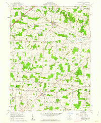
1961 Map of Chesterville
USGS Topo · Published 1962About this map
The village of Chesterville serves as the central hub of this Morrow County landscape, situated at the junction of several historic thoroughfares including the Waldo Chesterville Road. To the south, the village of Sparta anchors the southern portion of the quadrangle near Hulse Hill. The terrain is defined by the drainage patterns of the Kokosing River and its South Branch, which carve through the undulating farmland.
Find a feature on this map
64 named features on this map. Tap any name to fly to it.
Don’t see what you’re looking for? This feature index may not catch every label — zoom into the map to look around manually.
Map Details
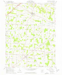
Editions of this 1961 Chesterville Map
2 editions found
Other maps of this area

1913 · Mount Gilead
USGS Topo · 1:62,500

1915 · Shauck
USGS Topo · 1:62,500

1915 · Marengo
USGS Topo · 1:62,500

1915 · Fredericktown
USGS Topo · 1:62,500

1916 · Mount Gilead
USGS Topo · 1:62,500

1943 · Shauck
USGS Topo · 1:62,500

1943 · Marengo
USGS Topo · 1:62,500

1943 · Mount Gilead
USGS Topo · 1:62,500

1943 · Fredericktown
USGS Topo · 1:62,500

1950 · Marion
USGS Topo · 1:250,000