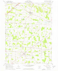
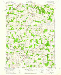
1961 Map of Chesterville
USGS Topo · Published 1977About this map
The Kokosing River snakes through the northern reach of this central Ohio landscape, anchoring a rural network of small agricultural settlements and family-named crossroads. Established at the junction of the Chesterville and Sparta corridors, this 1961 record preserves the mid-century layout of townships like Chester and South Bloomfield. The terrain is characterized by gentle slopes like Hulse Hill and several prominent water features, including the South Branch and Rogers Lake, which hosts Camp Wheeler. Local history is deeply etched into the map through its numerous country churches and burial grounds, such as Harmony Chapel, Mt Pisgah Ch, and the Maple Grove Cemetery. These sites, along with smaller hamlets like Lucerne and Penlan, illustrate the enduring social and religious geography of the Morrow and Knox County border during a period of steady rural stability.
Find a feature on this map
69 named features on this map. Tap any name to fly to it.
Don’t see what you’re looking for? This feature index may not catch every label — zoom into the map to look around manually.
Map Details
Editions of this 1961 Chesterville Map
2 editions found
Other maps of this area

1913 · Mount Gilead
USGS Topo · 1:62,500

1915 · Shauck
USGS Topo · 1:62,500

1915 · Marengo
USGS Topo · 1:62,500

1915 · Fredericktown
USGS Topo · 1:62,500

1916 · Mount Gilead
USGS Topo · 1:62,500

1943 · Shauck
USGS Topo · 1:62,500

1943 · Marengo
USGS Topo · 1:62,500

1943 · Mount Gilead
USGS Topo · 1:62,500

1943 · Fredericktown
USGS Topo · 1:62,500

1950 · Marion
USGS Topo · 1:250,000