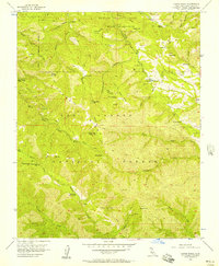
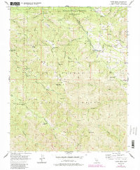
1956 Map of Chews Ridge
USGS Topo · Published 1957About this map
Hastings Natural History State Reservation occupies the northern reaches of this mid-1950s survey, characterized by the winding headwaters of James Creek and the steep elevation of Poison Oak Hill. The landscape is a remote network of ranching homesteads and seasonal camps within the Los Padres National Forest, where family-named landmarks like Mascorini Place, Bruce Ranch, and Koester Ranch highlight the sparse settlement pattern of the Santa Lucia Range. The central divide of Chews Ridge serves as the primary topographic spine, hosting the Chews Ridge Ranger Sta and a high-altitude Lookout.
Find a feature on this map
50 named features on this map. Tap any name to fly to it.
Don’t see what you’re looking for? This feature index may not catch every label — zoom into the map to look around manually.
Map Details
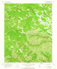
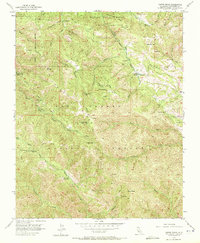
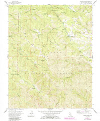
Editions of this 1956 Chews Ridge Map
5 editions found
Other maps of this area

1910 · Soledad
USGS Topo · 1:31,680

1915 · Soledad
USGS Topo · 1:62,500

1919 · Junipero Serra
USGS Topo · 1:62,500

1920 · Jamesburg
USGS Topo · 1:48,000

1921 · Jamesburg
USGS Topo · 1:62,500

1921 · Lucia
USGS Topo · 1:62,500

1939 · Jamesburg
USGS Topo · 1:62,500

1940 · Jamesburg
USGS Topo · 1:62,500

1940 · Soledad
USGS Topo · 1:62,500

1941 · Lucia
USGS Topo · 1:62,500