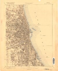
1953 Map of Chicago
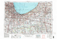
USGS Topo · Published 1984About this map
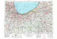
Lake Michigan anchors this mid-century look at the industrial and academic heart of the southern lakefront, where the massive steel-producing centers of Gary and East Chicago meet a dense web of rail corridors like the Grand Trunk Western RR and the Nickel Plate Road. The expansion of the metropolitan footprint is evident in the transition from the lake's industrial harbors to the nascent suburban rings around Chicago Heights and Hammond. Moving inland, the Valparaiso Moraine dictates the elevation, rising above the low-lying basin of the Kankakee River. Educational institutions such as the University of Notre Dame and Valparaiso University appear as significant landmarks alongside massive industrial sites like Thornton Quarry. Extensive conservation and military lands, including the Indiana Dunes State Park and the Kingsbury Military Reservation, contrast with the heavy urban development at the shoreline.
Find a feature on this map
445 named features on this map. Tap any name to fly to it.
Don’t see what you’re looking for? This feature index may not catch every label — zoom into the map to look around manually.
Map Details
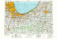
Editions of this 1953 Chicago Map
5 editions found

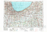
Historical Maps of Chicago Through Time
7 maps found