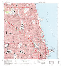
1993 Map of Chicago Loop
USGS Topo · Published 1993About this map
Chicago at the start of the 1990s reveals a dense urban fabric defined by its legendary lakefront and the legacy of its industrial waterways. This survey showcases the intense concentration of the central business district, where the Sears Tower and Merchandise Mart stand near the Chicago River. The map meticulously details the park system that lines Lake Michigan, from the expansive Grant Park to the lagoons and harbors of Lincoln Park.
Find a feature on this map
45 named features on this map. Tap any name to fly to it.
Don’t see what you’re looking for? This feature index may not catch every label — zoom into the map to look around manually.
Map Details
Editions of this 1993 Chicago Loop Map
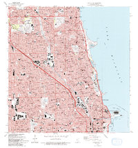
2 editions found
Other maps of this area

1889 · Chicago
USGS Topo · 1:62,500

1891 · Chicago
USGS Topo · 1:62,500

1891 · Riverside
USGS Topo · 1:62,500

1893 · Riverside
USGS Topo · 1:62,500

1899 · Evanston
USGS Topo · 1:62,500

1900 · Chicago
USGS Topo · 1:62,500

1900 · Riverside
USGS Topo · 1:62,500

1900 · Highwood
USGS Topo · 1:62,500

1901 · Riverside
USGS Topo · 1:62,500

1901 · Chicago
USGS Topo · 1:62,500
Featured Places
- Chicago, IL
- Lincolnwood, IL
- Lake View Township, Chicago
- West Chicago Township, Chicago
- Jefferson Township, Chicago