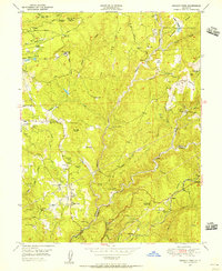
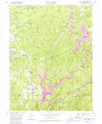
1949 Map of Chicago Park
USGS Topo · Published 1956About this map
Placer mining and hydraulic heritage dominate the landscape of the Sierra Nevada foothills on this 1949 survey. Extensive placer diggings are visible across the northeastern terrain, particularly near the evocatively named settlements of You Bet and Red Dog. The map records a complex water infrastructure vital to the region's mining and agriculture, featuring the Chicago Park Ditch, Colfax Ditch, and Boardman Canal. Historical travel routes are well-preserved, with several Donner Trail markers identified along the ridges near Chicago Park.
Find a feature on this map
59 named features on this map. Tap any name to fly to it.
Don’t see what you’re looking for? This feature index may not catch every label — zoom into the map to look around manually.
Map Details
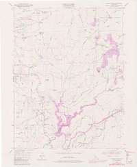
Editions of this 1949 Chicago Park Map
7 editions found

Other maps of this area

1888 · Smartsville
USGS Topo · 1:125,000

1891 · Colfax
USGS Topo · 1:125,000

1891 · Smartsville
USGS Topo · 1:125,000

1892 · Smartsville
USGS Topo · 1:125,000

1892 · Colfax
USGS Topo · 1:125,000

1894 · Colfax
USGS Topo · 1:125,000

1894 · Smartsville
USGS Topo · 1:125,000

1895 · Smartsville
USGS Topo · 1:125,000

1898 · Colfax
USGS Topo · 1:125,000

1900 · Colfax
USGS Topo · 1:125,000