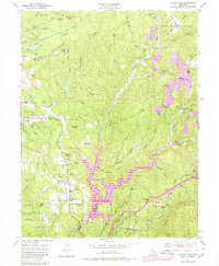
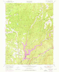
1949 Map of Chicago Park
USGS Topo · Published 1980About this map
The gold-bearing ridges of Nevada and Placer counties are defined here by a network of hydraulic mining sites and historic water infrastructure. Rollins Reservoir dominates the lower center of the sheet, submerged beneath which the Bear River flows. The landscape is marked by legacy industrial sites like Red Dog and You Bet, where extensive Placer Diggings and the Chalk Bluff Ridge reveal the scale of 19th-century earth-moving. High points like Banner Mtn overlook active and inactive operations including the Lava Cap Mine and the Banner Mine.
Find a feature on this map
61 named features on this map. Tap any name to fly to it.
Don’t see what you’re looking for? This feature index may not catch every label — zoom into the map to look around manually.
Map Details
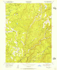
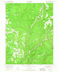
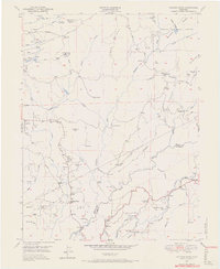
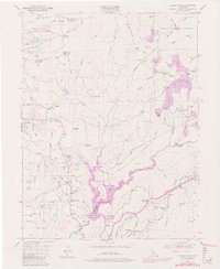
Editions of this 1949 Chicago Park Map
7 editions found

Other maps of this area

1888 · Smartsville
USGS Topo · 1:125,000

1891 · Colfax
USGS Topo · 1:125,000

1891 · Smartsville
USGS Topo · 1:125,000

1892 · Smartsville
USGS Topo · 1:125,000

1892 · Colfax
USGS Topo · 1:125,000

1894 · Colfax
USGS Topo · 1:125,000

1894 · Smartsville
USGS Topo · 1:125,000

1895 · Smartsville
USGS Topo · 1:125,000

1898 · Colfax
USGS Topo · 1:125,000

1900 · Colfax
USGS Topo · 1:125,000