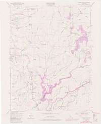
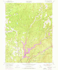
1949 Map of Chicago Park
USGS Topo · Published 1980About this map
Gold-country legacy and hydroelectric development define this landscape along the Nevada Co Placer Co border. While the Southern Pacific railroad follows the high ground through Magra and past the Secret Town (Site), the rugged canyons below reveal a deep history of hydraulic mining. Extensive Placer Diggings and the scarred terrain of Red Dog Canyon and Chalk Bluff mark the era of massive earth-moving, centered around the aptly named settlement of You Bet.
Find a feature on this map
63 named features on this map. Tap any name to fly to it.
Don’t see what you’re looking for? This feature index may not catch every label — zoom into the map to look around manually.
Map Details
Editions of this 1949 Chicago Park Map
7 editions found

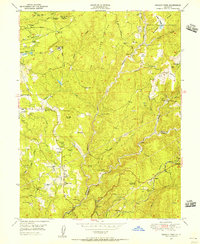
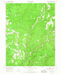
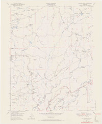
Other maps of this area

1888 · Smartsville
USGS Topo · 1:125,000

1891 · Colfax
USGS Topo · 1:125,000

1891 · Smartsville
USGS Topo · 1:125,000

1892 · Smartsville
USGS Topo · 1:125,000

1892 · Colfax
USGS Topo · 1:125,000

1894 · Colfax
USGS Topo · 1:125,000

1894 · Smartsville
USGS Topo · 1:125,000

1895 · Smartsville
USGS Topo · 1:125,000

1898 · Colfax
USGS Topo · 1:125,000

1900 · Colfax
USGS Topo · 1:125,000