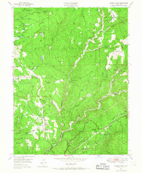
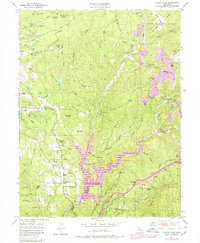
1949 Map of Chicago Park
USGS Topo · Published 1967About this map
Chicago Park and the surrounding Sierra Nevada foothills are defined by a complex network of historic water systems and mining infrastructure. In the late 1940s, the landscape remained deeply marked by its gold-rush legacy, from the Placer Diggings at You Bet and Red Dog to the industrial operations at the Lava Cap Mine and Banner Mine. These hydraulic and hard-rock ventures relied on an intricate web of canals and ditches, such as the Boardman Canal, Siphon Ditch, and Chicago Park Ditch, which redirect water across the ridges and canyons formed by Greenhorn Creek and the Bear River.
Find a feature on this map
62 named features on this map. Tap any name to fly to it.
Don’t see what you’re looking for? This feature index may not catch every label — zoom into the map to look around manually.
Map Details
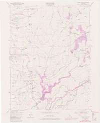
Editions of this 1949 Chicago Park Map
7 editions found

Other maps of this area

1888 · Smartsville
USGS Topo · 1:125,000

1891 · Colfax
USGS Topo · 1:125,000

1891 · Smartsville
USGS Topo · 1:125,000

1892 · Smartsville
USGS Topo · 1:125,000

1892 · Colfax
USGS Topo · 1:125,000

1894 · Colfax
USGS Topo · 1:125,000

1894 · Smartsville
USGS Topo · 1:125,000

1895 · Smartsville
USGS Topo · 1:125,000

1898 · Colfax
USGS Topo · 1:125,000

1900 · Colfax
USGS Topo · 1:125,000