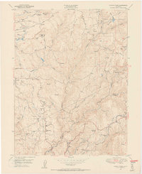
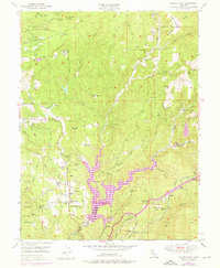
1949 Map of Chicago Park
USGS Topo · Published 1956About this map
The gold-mining legacy of the Sierra Nevada foothills is etched into this landscape along the boundary of Nevada Co and Placer Co. Extensive hydraulic and placer mining operations define the terrain, most notably at the You Bet Diggings and Chalk Bluff Diggings near the community of You Bet. The complex water infrastructure required for these works is visible in the network of canals and reservoirs, including the Lava Cap Reservoir and the Lava Cap Mine located on Little Clipper Creek.
Find a feature on this map
56 named features on this map. Tap any name to fly to it.
Don’t see what you’re looking for? This feature index may not catch every label — zoom into the map to look around manually.
Map Details
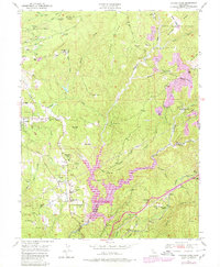
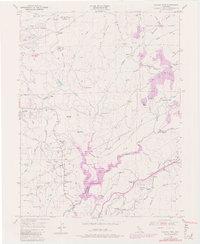
Editions of this 1949 Chicago Park Map
7 editions found
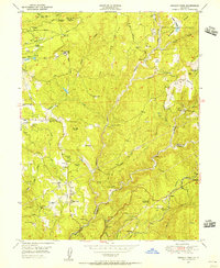
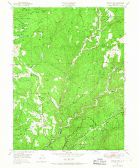
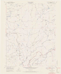
Other maps of this area

1888 · Smartsville
USGS Topo · 1:125,000

1891 · Colfax
USGS Topo · 1:125,000

1891 · Smartsville
USGS Topo · 1:125,000

1892 · Smartsville
USGS Topo · 1:125,000

1892 · Colfax
USGS Topo · 1:125,000
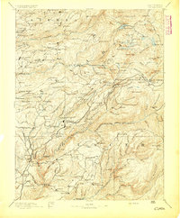
1894 · Colfax
USGS Topo · 1:125,000
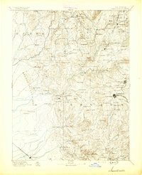
1894 · Smartsville
USGS Topo · 1:125,000
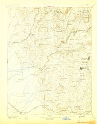
1895 · Smartsville
USGS Topo · 1:125,000
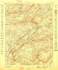
1898 · Colfax
USGS Topo · 1:125,000
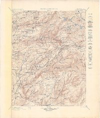
1900 · Colfax
USGS Topo · 1:125,000