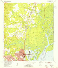
1953 Map of Chickasaw
USGS Topo · Published 1955About this map
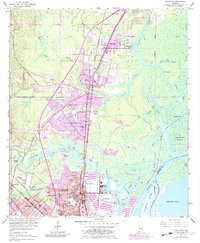
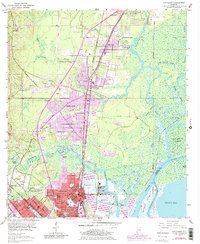
Industrial infrastructure and coastal waterways define the Mobile County landscape in the mid-1950s. The town of Chickasaw serves as a major hub, anchored by its Ship Yard and a Levee system protecting the developed areas near Chickasaw Creek. To the west and north, residential expansion is evident in North Mobile, Saraland, and Satsuma, connected by the Southern Railway and the Northern and Southern Railway.
Find a feature on this map
65 named features on this map. Tap any name to fly to it.
Don’t see what you’re looking for? This feature index may not catch every label — zoom into the map to look around manually.
Map Details
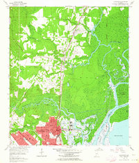
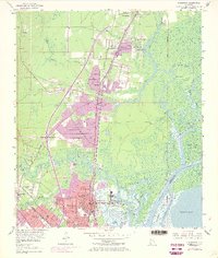
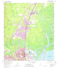
Editions of this 1953 Chickasaw Map
6 editions found
Other maps of this area

1921 · Fairhope
USGS Topo · 1:62,500

1922 · Mobile
USGS Topo · 1:62,500

1940 · Mobile
USGS Topo · 1:31,680

1940 · Mobile
USGS Topo · 1:62,500

1941 · Chickasaw
USGS Topo · 1:31,680

1941 · Blakeley
USGS Topo · 1:31,680

1941 · Bay Minette
USGS Topo · 1:62,500

1941 · Creola
USGS Topo · 1:62,500

1941 · Fairhope
USGS Topo · 1:62,500

1942 · Hurricane
USGS Topo · 1:31,680