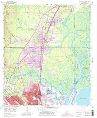
1953 Map of Chickasaw
USGS Topo · Published 1983About this map
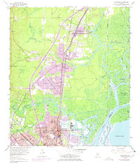
Industrial and suburban expansion defines the corridor north of Mobile in the mid-20th century. Major municipalities including Chickasaw, Saraland, and Prichard anchor the western landscape, showing a dense grid of residential streets and community landmarks like the Community House and Amelia City Park. The area's economic foundations are visible in the concentration of transportation and heavy industry along the Mobile River, most notably the large Ship Yard facility and a complex network of rail lines including the Louisville and Nashville and Southern Railway.
Find a feature on this map
65 named features on this map. Tap any name to fly to it.
Don’t see what you’re looking for? This feature index may not catch every label — zoom into the map to look around manually.
Map Details
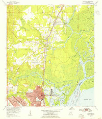
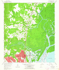
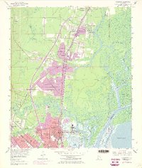
Editions of this 1953 Chickasaw Map
6 editions found
Other maps of this area

1921 · Fairhope
USGS Topo · 1:62,500

1922 · Mobile
USGS Topo · 1:62,500

1940 · Mobile
USGS Topo · 1:31,680

1940 · Mobile
USGS Topo · 1:62,500

1941 · Chickasaw
USGS Topo · 1:31,680

1941 · Blakeley
USGS Topo · 1:31,680

1941 · Bay Minette
USGS Topo · 1:62,500

1941 · Creola
USGS Topo · 1:62,500

1941 · Fairhope
USGS Topo · 1:62,500

1942 · Hurricane
USGS Topo · 1:31,680