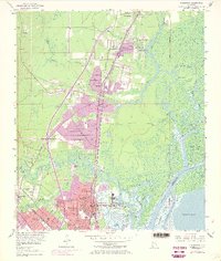
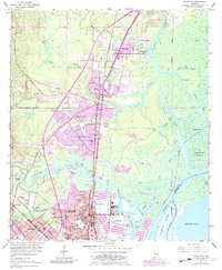
1953 Map of Chickasaw
USGS Topo · Published 1968About this map
Industrial corridors and suburban expansion define this mid-century view of Mobile County, where the Mobile River and Spanish River converge near Blakeley Island. The map records the growth of Chickasaw and Saraland, with purple-tinted areas indicating urban development as it appeared during the 1967 revision. A heavy concentration of maritime and logistical infrastructure is visible along the waterfront, most notably the Ship Yard and various canals.
Find a feature on this map
71 named features on this map. Tap any name to fly to it.
Don’t see what you’re looking for? This feature index may not catch every label — zoom into the map to look around manually.
Map Details
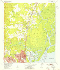
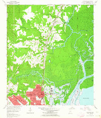
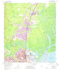
Editions of this 1953 Chickasaw Map
6 editions found
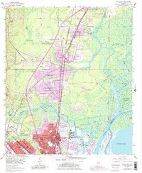
Other maps of this area

1921 · Fairhope
USGS Topo · 1:62,500

1922 · Mobile
USGS Topo · 1:62,500

1940 · Mobile
USGS Topo · 1:31,680

1940 · Mobile
USGS Topo · 1:62,500

1941 · Chickasaw
USGS Topo · 1:31,680

1941 · Blakeley
USGS Topo · 1:31,680

1941 · Bay Minette
USGS Topo · 1:62,500

1941 · Creola
USGS Topo · 1:62,500

1941 · Fairhope
USGS Topo · 1:62,500

1942 · Hurricane
USGS Topo · 1:31,680