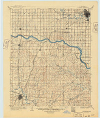
1904 Map of Chickasha
USGS Topo · Published 1949About this map
The Chickasha area and the southern reaches of Oklahoma City are defined here by a network of emerging rail lines and river crossings during the early years of the century. Three major railroad systems, including the Chicago Rock Island and Pacific RR and its Mangum Line, anchor the developing economy, connecting scattered prairie settlements like Pocasset, Amber, and Tuttle. This 1904 revision, based on surveys by C. H. Fitch and Van H. Manning, captures the landscape before many of these rural centers were fully consolidated, showing the influence of the Canadian River and North Canadian River on early transportation routes. Local genealogy and land use can be traced through smaller, persistent names like Dibble, Womack, and Naples, which provided vital hubs for the surrounding agricultural townships.
Find a feature on this map
56 named features on this map. Tap any name to fly to it.
Don’t see what you’re looking for? This feature index may not catch every label — zoom into the map to look around manually.
Map Details
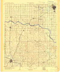
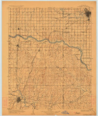
Editions of this 1904 Chickasha Map
4 editions found

Other maps of this area

1892 · Moore
USGS Topo · 1:62,500

1892 · Edmond
USGS Topo · 1:62,500

1892 · Kingfisher
USGS Topo · 1:125,000

1893 · Norman
USGS Topo · 1:62,500

1893 · Fort Reno
USGS Topo · 1:62,500

1893 · Oklahoma City
USGS Topo · 1:62,500

1893 · Buggy Creek
USGS Topo · 1:62,500

1893 · Minco
USGS Topo · 1:62,500

1895 · Kingfisher
USGS Topo · 1:125,000

1898 · Purcell
USGS Topo · 1:125,000