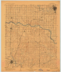
1904 Map of Chickasha
USGS Topo · Published 1923About this map
Chickasha and Oklahoma City anchor this early territorial survey, which captures the region during a critical period of rail expansion and agricultural settlement at the turn of the century. The Canadian River carves a winding path through the center of the sheet, serving as a boundary for Grady, Canadian, and Cleveland counties. The landscape is defined by the burgeoning rail network, including the Chicago Rock Island and Pacific and the St. Louis and San Francisco R. R., which facilitated the growth of small trade centers like Minco, Tuttle, and Pocasset.
Find a feature on this map
59 named features on this map. Tap any name to fly to it.
Don’t see what you’re looking for? This feature index may not catch every label — zoom into the map to look around manually.
Map Details
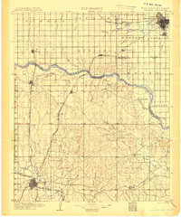
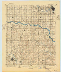
Editions of this 1904 Chickasha Map
4 editions found

Other maps of this area

1892 · Moore
USGS Topo · 1:62,500

1892 · Edmond
USGS Topo · 1:62,500

1892 · Kingfisher
USGS Topo · 1:125,000

1893 · Norman
USGS Topo · 1:62,500

1893 · Fort Reno
USGS Topo · 1:62,500

1893 · Oklahoma City
USGS Topo · 1:62,500

1893 · Buggy Creek
USGS Topo · 1:62,500

1893 · Minco
USGS Topo · 1:62,500

1895 · Kingfisher
USGS Topo · 1:125,000

1898 · Purcell
USGS Topo · 1:125,000