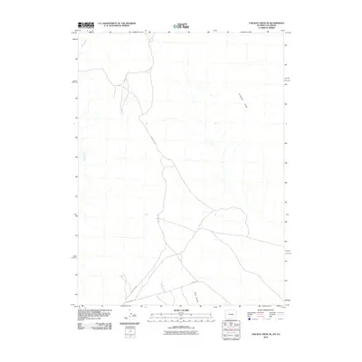
2010 Map of Chicken Creek SE
USGS Topo · Published 2010About this map
Kinney Rim defines the eastern topography of this high desert region in Sweetwater County, where the landscape is marked by remote drainage systems and access routes managed by the Bureau of Land Management. The area is characterized by seasonal watercourses like Alkali Creek and the deep incision of Hells Canyon near the southern boundary. Human presence is primarily indicated by a network of back-country thoroughfares, including the arterial Hiawatha Rd and Blm Road 4407, which trace the high ground and canyon floors. These roads serve as the primary conduits through an area where the terrain dictated transport patterns long before modern mapping, providing a look at the geographic constraints that shaped movement across the Wyoming-Colorado borderlands during the early 21st century.
Find a feature on this map
5 named features on this map. Tap any name to fly to it.
Don’t see what you’re looking for? This feature index may not catch every label — zoom into the map to look around manually.
Map Details
Editions of this 2010 Chicken Creek SE Map
This is the sole edition of this map. No revisions or reprints were ever made.
Other maps of this area

1954 · Vernal
USGS Topo · 1:250,000

1954 · Rock Springs
USGS Topo · 1:250,000

1958 · Vernal
USGS Topo · 1:250,000

1958 · Rock Springs
USGS Topo · 1:250,000

1960 · Vernal
USGS Topo · 1:250,000

1962 · Rock Springs
USGS Topo · 1:250,000

1966 · Sugarloaf Butte
USGS Topo · 1:24,000

1966 · Hiawatha
USGS Topo · 1:24,000

1968 · Chicken Creek East
USGS Topo · 1:24,000
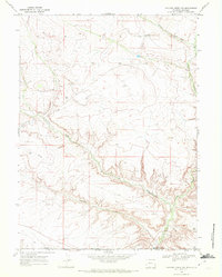
1968 · Chicken Creek SW
USGS Topo · 1:24,000