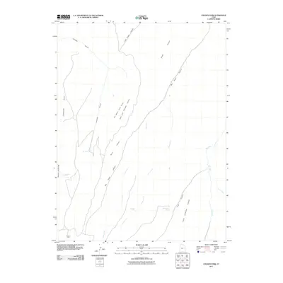
2011 Map of Chicken Fork
USGS Topo · Published 2011About this map
Stevens Cabin sits in the southwestern corner of this drainage basin, representing one of the few named structures in this remote reach of Uintah County. The landscape is defined by an intricate network of deep-cut drainages including Chandler Canyon, Big Dogie Canyon, and Short Canyon, which converge to feed the primary watercourses of Chicken Fork and Hill Creek. These seasonal and perennial streams create a rugged relief that terminates at prominent high points such as Chandler Point and the narrow No Mans Land Point.
Find a feature on this map
22 named features on this map. Tap any name to fly to it.
Don’t see what you’re looking for? This feature index may not catch every label — zoom into the map to look around manually.
Map Details
Editions of this 2011 Chicken Fork Map
This is the sole edition of this map. No revisions or reprints were ever made.
Other maps of this area

1885 · East Tavaputs
USGS Topo · 1:250,000

1953 · Firewater Canyon
USGS Topo · 1:62,500

1956 · Grand Junction
USGS Topo · 1:250,000

1959 · Grand Junction
USGS Topo · 1:250,000

1960 · Grand Junction
USGS Topo · 1:250,000

1962 · Grand Junction
USGS Topo · 1:250,000

1963 · Tenmile Canyon
USGS Topo · 1:62,500

1963 · Moonwater Point
USGS Topo · 1:62,500

1964 · Grand Junction
USGS Topo · 1:250,000

1965 · Grand Junction
USGS Topo · 1:250,000