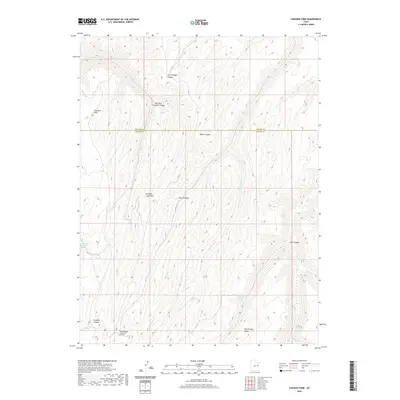
2020 Map of Chicken Fork
USGS Topo · Published 2020About this map
Chicken Fork winds through a complex system of plateaus and deep drainages along the border of Uintah and Grand counties. This 2020 survey illustrates a landscape dominated by the erosion patterns of the East Book Cliffs region, where water sources like Moonwater Springs and Post Canyon Spring are critical focal points in an otherwise arid environment. The naming conventions of the terrain, including Little Doggie Canyon and Big Doggie Canyon, hint at the ranching history and local livestock movements that have long defined this part of the Uinta Basin. Higher elevations are marked by prominent overlooks such as No Mans Land Point and Chandler Point, providing a clear view of the deep Death Canyon and the surrounding network of forks and creeks that eventually feed into Hill Cr.
Find a feature on this map
21 named features on this map. Tap any name to fly to it.
Don’t see what you’re looking for? This feature index may not catch every label — zoom into the map to look around manually.
Map Details
Editions of this 2020 Chicken Fork Map
This is the sole edition of this map. No revisions or reprints were ever made.
Other maps of this area

1885 · East Tavaputs
USGS Topo · 1:250,000

1953 · Firewater Canyon
USGS Topo · 1:62,500

1956 · Grand Junction
USGS Topo · 1:250,000

1959 · Grand Junction
USGS Topo · 1:250,000

1960 · Grand Junction
USGS Topo · 1:250,000

1962 · Grand Junction
USGS Topo · 1:250,000

1963 · Tenmile Canyon
USGS Topo · 1:62,500

1963 · Moonwater Point
USGS Topo · 1:62,500

1964 · Grand Junction
USGS Topo · 1:250,000

1965 · Grand Junction
USGS Topo · 1:250,000