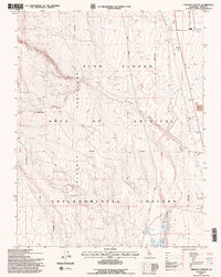
1994 Map of Chidago Canyon
USGS Topo · Published 1997About this map
Fish Slough defines the eastern portion of this high desert landscape, carving a corridor of biological and hydrologic importance between the Volcanic Tableland and the White Mountains. The terrain is marked by sharp elevation changes, particularly where Chidago Canyon cuts through the volcanic flows. This 1990s revision by the Forest Service highlights a landscape increasingly defined by conservation, designated as an Area of Critical Environmental Concern and a protected Environmental Area. Human activity remains visible along the margins, from the industrial presence of a Mine and various Gravel Pits to the historic traces of Ruins and cattle infrastructure like the Guzzler. Water management is central to the area's geography, evidenced by the Aqueduct and a system of Levees and Springs that support the fragile ecosystem within the Chalfant Valley.
Find a feature on this map
22 named features on this map. Tap any name to fly to it.
Don’t see what you’re looking for? This feature index may not catch every label — zoom into the map to look around manually.
Map Details
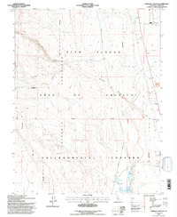
Editions of this 1994 Chidago Canyon Map
2 editions found
Other maps of this area

1912 · Mt. Goddard
USGS Topo · 1:125,000

1913 · Bishop
USGS Topo · 1:125,000

1914 · Mt. Morrison
USGS Topo · 1:125,000

1917 · White Mountain
USGS Topo · 1:125,000

1947 · Mariposa
USGS Topo · 1:250,000

1948 · Mariposa
USGS Topo · 1:250,000

1949 · Mt. Tom
USGS Topo · 1:62,500

1949 · Bishop
USGS Topo · 1:62,500

1951 · Mt. Tom
USGS Topo · 1:62,500

1951 · Bishop
USGS Topo · 1:62,500