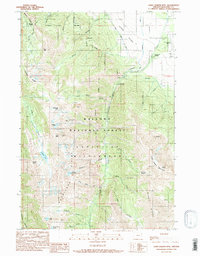
1990 Map of Chief Joseph Mtn
USGS Topo · Published 1990About this map
Chief Joseph Mountain dominates this vertical terrain within the Wallowa National Forest, where high alpine ridges separate deep glacial drainages. Mining history is etched into the peaks at the Legore Mine and the Joseph Mtn Mines, while the Miners Basin suggests the early industrial activity that drew prospectors to these heights. The transition from the high Eagle Cap Wilderness to the valley floor is marked by the presence of the Hurricane Grange and the Joseph Cem, indicating the edge of permanent settlement near the Joseph State Airport. The hydrological network is well-defined by the Hurricane Creek corridor, which flows past the Hurricane Creek Campground and is monitored by a Gaging Station. High altitude lakes such as Legore Lake, Deadman Lake, and Echo Lake dot the basins between the Hurricane Divide and the Hurwal Divide.
Find a feature on this map
41 named features on this map. Tap any name to fly to it.
Don’t see what you’re looking for? This feature index may not catch every label — zoom into the map to look around manually.
Map Details
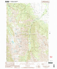
Editions of this 1990 Chief Joseph Mtn Map
3 editions found
Other maps of this area

1954 · Cornucopia
USGS Topo · 1:62,500

1954 · Eagle Cap
USGS Topo · 1:62,500

1955 · Grangeville
USGS Topo · 1:250,000

1957 · Enterprise
USGS Topo · 1:62,500

1957 · Joseph
USGS Topo · 1:62,500

1959 · Grangeville
USGS Topo · 1:250,000

1986 · Enterprise
USGS Topo · 1:100,000

1990 · Lostine
USGS Topo · 1:24,000

1990 · Chief Joseph Mtn
USGS Topo · 1:24,000
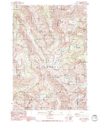
1990 · Eagle Cap
USGS Topo · 1:24,000