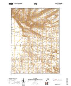
2020 Map of Chignik A-4 NW
USGS Topo · Published 2020About this map
Mt Veniaminof dominates this high-altitude landscape on the Alaska Peninsula, serving as the central hub for a massive glacial system. Massive ice fields flow outward from the volcanic peak, including the sprawling Crab Glacier to the north and the Hook Glacier which descends toward the southeast. The survey detail illustrates the complex topography of these moving ice bodies, capturing the distinct drainage patterns of the Trident Glacier and Yantarni Glacier. This remote region of the Lake and Peninsula Borough is defined by its extreme elevations and the absence of human infrastructure, focusing entirely on the shifting interaction between volcanic terrain and permanent ice.
Find a feature on this map
12 named features on this map. Tap any name to fly to it.
Don’t see what you’re looking for? This feature index may not catch every label — zoom into the map to look around manually.
Map Details
Editions of this 2020 Chignik A-4 NW Map
This is the sole edition of this map. No revisions or reprints were ever made.
Other maps of this area

1963 · Chignik A-4
USGS Topo · 1:63,360

1963 · Chignik B-5
USGS Topo · 1:63,360

1963 · Chignik B-4
USGS Topo · 1:63,360

1963 · Chignik A-5
USGS Topo · 1:63,360

1963 · Chignik
USGS Topo · 1:250,000
2020 · Chignik B-4 SW
USGS Topo · 1:25,000
2020 · Chignik B-5 SE
USGS Topo · 1:25,000
2020 · Chignik A-4 NE
USGS Topo · 1:25,000
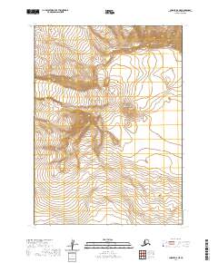
2020 · Chignik A-5 NE
USGS Topo · 1:25,000
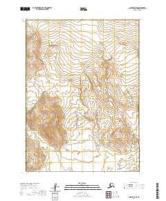
2020 · Chignik A-5 SE
USGS Topo · 1:25,000