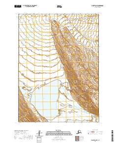
2020 Map of Chignik A-6 NW
USGS Topo · Published 2020About this map
Alaska Peninsula shoreline and hydrology dominate this remote coastal landscape on the southwestern reach of the state. The topography is defined by the expansive Sandy Lake, which sits at the center of a complex network of drainage and tidal influences. To the north, the Muddy River meanders toward the coast, while the East Bight indentation marks the shoreline transition. In the south, the Sandy River flows through a broad valley floor, as shown in this 2020 USGS record. The map provides a clear look at the intricate survey grid of the Public Land Survey System, including sections within t46s r68w and t47s r69w, documenting the uninhabited terrain before more modern human alterations reached this part of the Aleutians East Borough.
Find a feature on this map
11 named features on this map. Tap any name to fly to it.
Don’t see what you’re looking for? This feature index may not catch every label — zoom into the map to look around manually.
Map Details
Editions of this 2020 Chignik A-6 NW Map
This is the sole edition of this map. No revisions or reprints were ever made.
Other maps of this area

1963 · Chignik A-6
USGS Topo · 1:63,360
1963 · Chignik B-7
USGS Topo · 1:63,360

1963 · Chignik B-6
USGS Topo · 1:63,360

1963 · Chignik A-7
USGS Topo · 1:63,360

1963 · Chignik
USGS Topo · 1:250,000
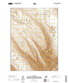
2020 · Chignik A-7 SE
USGS Topo · 1:25,000
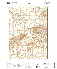
2020 · Chignik B-7 SE
USGS Topo · 1:25,000
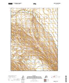
2020 · Chignik A-7 NE
USGS Topo · 1:25,000
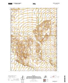
2020 · Chignik B-6 SW
USGS Topo · 1:25,000
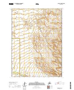
2020 · Chignik B-6 SE
USGS Topo · 1:25,000