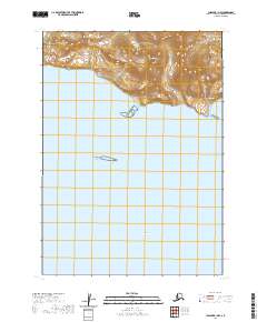
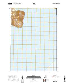
2020 Map of Chignik B-1 NW
USGS Topo · Published 2020About this map
Red Peak stands as the primary terrestrial landmark on this section of the Alaska Peninsula, overlooking the expansive waters of Chignik Bay. The coastal landscape is defined by its isolation and the dramatic elevation changes typical of the Lake and Peninsula Borough, where the mountains meet the Pacific. Just offshore, the small landmass of Anguvik Island provides a navigational reference point within the bay. This 2020 digital survey illustrates the complex bathymetry and topography of a region where the human footprint is almost entirely absent from the official record. Instead, the map focuses on the natural geographic features and the Public Land Survey System boundaries, such as t42s r57w and t43s r57w, which organize this remote maritime territory.
Find a feature on this map
8 named features on this map. Tap any name to fly to it.
Don’t see what you’re looking for? This feature index may not catch every label — zoom into the map to look around manually.
Map Details
Editions of this 2020 Chignik B-1 NW Map
This is the sole edition of this map. No revisions or reprints were ever made.
Other maps of this area

1963 · Chignik B-2
USGS Topo · 1:63,360

1963 · Chignik B-1
USGS Topo · 1:63,360

1963 · Chignik C-1
USGS Topo · 1:63,360

1963 · Chignik C-2
USGS Topo · 1:63,360

1963 · Chignik
USGS Topo · 1:250,000
2020 · Chignik B-2 NE
USGS Topo · 1:25,000

2020 · Chignik C-1 SW
USGS Topo · 1:25,000
2020 · Chignik B-1 SW
USGS Topo · 1:25,000
2020 · Chignik B-2 SE
USGS Topo · 1:25,000
2020 · Chignik B-1 NE
USGS Topo · 1:25,000