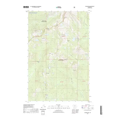
2020 Map of Chikamin Peak
USGS Topo · Published 2020About this map
Chikamin Peak and the high ridges of the Central Cascades define this landscape where the Snoqualmie National Forest meets the Wenatchee National Forest. The Pacific Crest National Scenic Trail serves as the primary artery for travel through the terrain, winding past Lemah Mtn and over Alta Pass. This 2020 survey reveals a dense network of alpine water bodies, from the secluded Gravel Lake and Ridge Lake near Mt Thomson to the larger Spectacle Lake and Rachel Lake further east. The topography is shaped by steep drainages like Gold Creek Valley and the Middle Fork Snoqualmie Wild and Scenic River. These features represent the preservation of a roadless mountain environment where naming conventions often reflect the early twentieth-century mountaineering and timber history of King and Kittitas counties.
Find a feature on this map
66 named features on this map. Tap any name to fly to it.
Don’t see what you’re looking for? This feature index may not catch every label — zoom into the map to look around manually.
Map Details
Editions of this 2020 Chikamin Peak Map
This is the sole edition of this map. No revisions or reprints were ever made.
Other maps of this area

1901 · Snoqualmie Pass
USGS Topo · 1:125,000

1902 · Skykomish
USGS Topo · 1:125,000

1903 · Snoqualmie
USGS Topo · 1:125,000

1905 · Skykomish
USGS Topo · 1:125,000

1957 · Wenatchee
USGS Topo · 1:250,000

1961 · Snoqualmie Pass
USGS Topo · 1:62,500

1961 · Kachess Lake
USGS Topo · 1:62,500

1965 · Mount Daniel
USGS Topo · 1:24,000
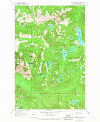
1965 · Snoqualmie Lake
USGS Topo · 1:24,000
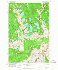
1965 · Big Snow Mtn
USGS Topo · 1:24,000