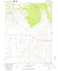
1979 Map of Chilcoot
USGS Topo · Published 1979About this map
Plumas National Forest meets the wide, flat floor of the Sierra Valley on this topographic sheet, illustrating a high-altitude agricultural landscape defined by water management. The hydrology is dominated by the Little Last Chance Creek and its many modifications, including the North Channel and numerous flowing wells that supported local ranching operations like the Troei Canyon Ranch. Settled life clusters along the Western Pacific Railroad corridor, where the small communities of Vinton and Chilcoot served as vital transit points in the late 1970s.
Find a feature on this map
29 named features on this map. Tap any name to fly to it.
Don’t see what you’re looking for? This feature index may not catch every label — zoom into the map to look around manually.
Map Details
Editions of this 1979 Chilcoot Map
2 editions found
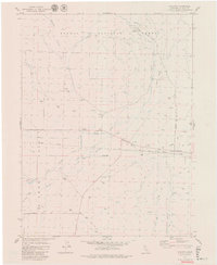
Other maps of this area

1890 · Sierraville
USGS Topo · 1:125,000

1892 · Sierraville
USGS Topo · 1:125,000

1894 · Sierraville
USGS Topo · 1:125,000

1950 · Chilcoot
USGS Topo · 1:62,500

1950 · Portola
USGS Topo · 1:62,500

1955 · Loyalton
USGS Topo · 1:62,500

1955 · Sierraville
USGS Topo · 1:62,500

1958 · Chico
USGS Topo · 1:250,000

1960 · Chico
USGS Topo · 1:250,000
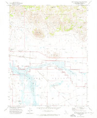
1972 · Reconnaissance Peak
USGS Topo · 1:24,000