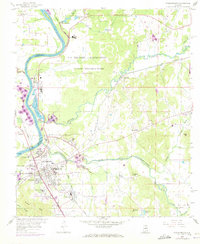
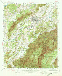
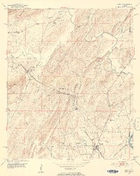
1958 Map of Childersburg
USGS Topo · Published 1973About this map
Industrial and institutional development dominates the landscape near the confluence of the Coosa River and Tallaseehatchee Creek. A massive U.S. Military Reservation containing the Alabama Ordnance Works (Inactive) occupies a significant portion of the northern terrain, indicating the area's strategic mid-century importance. To the south, the city of Childersburg is surrounded by expanding residential developments like Pinewood Terrace, Coosa Court, and Grove Park. The presence of the Childersburg State Penal Camp and a large chemical facility near Coosa Pines highlights a diverse economic base. Local genealogy is supported by the mapping of rural institutions such as Mt Carmel Ch, Friendship Ch No 2, and several small burial sites including Davis Cem. Transportation is anchored by the Central of Georgia and Southern railroads, which served the region's industry and growing neighborhoods.
Find a feature on this map
61 named features on this map. Tap any name to fly to it.
Don’t see what you’re looking for? This feature index may not catch every label — zoom into the map to look around manually.
Map Details
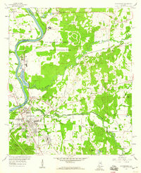
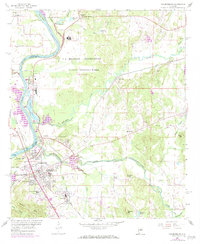
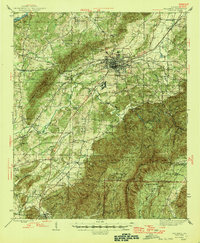
Editions of this 1958 Childersburg Map
3 editions found
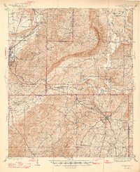
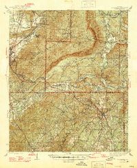
Other maps of this area

1890 · Talladega
USGS Topo · 1:125,000

1892 · Talladega
USGS Topo · 1:125,000
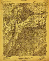
1915 · Gantts Quarry
USGS Topo · 1:48,000

1917 · Gantts Quarry
USGS Topo · 1:62,500
1943 · Talladega
USGS Topo · 1:62,500
1944 · Goodwater
USGS Topo · 1:62,500
1946 · Talladega
USGS Topo · 1:62,500
1947 · Goodwater
USGS Topo · 1:62,500
1951 · Vincent
USGS Topo · 1:24,000
1951 · Laniers
USGS Topo · 1:24,000