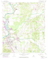
1958 Map of Childersburg
USGS Topo · Published 1984About this map
Industrial and military history dominates the landscape where the Coosa River forms the border between Shelby and Talladega counties. North of Childersburg, the sprawling Alabama Ordnance Works and a U S Military Reservation sit near the riverbank, signifying the area's mid-century importance to national defense. The town itself shows clear signs of post-war expansion with residential developments like Grove Park, Pinewood Terrace, and Indian Hill flanking the central business district. Educational and civic infrastructure is well-established, including Wheatley High Sch and the National Guard Armory. Along the river, Lay Lake and Buzzard Island reflect the managed waters of the Coosa, while the Central of Georgia and Southern railroad lines intersect at Childersburg, anchoring the local economy to regional transport networks. Rural life persists in the outlying areas, marked by local landmarks such as Mt Olive Ch and Boaz Corner.
Find a feature on this map
61 named features on this map. Tap any name to fly to it.
Don’t see what you’re looking for? This feature index may not catch every label — zoom into the map to look around manually.
Map Details
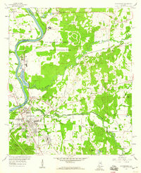
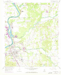
Editions of this 1958 Childersburg Map
3 editions found
Other maps of this area

1890 · Talladega
USGS Topo · 1:125,000

1892 · Talladega
USGS Topo · 1:125,000

1915 · Gantts Quarry
USGS Topo · 1:48,000

1917 · Gantts Quarry
USGS Topo · 1:62,500

1943 · Talladega
USGS Topo · 1:62,500

1944 · Goodwater
USGS Topo · 1:62,500

1946 · Talladega
USGS Topo · 1:62,500

1947 · Goodwater
USGS Topo · 1:62,500

1951 · Vincent
USGS Topo · 1:24,000

1951 · Laniers
USGS Topo · 1:24,000