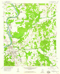
1958 Map of Childersburg
USGS Topo · Published 1960About this map
The Alabama Ordnance Works and the surrounding U S Military Reservation dominate the landscape of the late 1950s, signifying the area's mid-century industrial and military importance. Centered around Childersburg, the map illustrates a transition from the dense residential planning of Grove Park and Minor Terrace to the specialized industry of Coosa Pines, where a large substation and chemical facilities sit along the Coosa River. The transportation network is remarkably complex for the era, with the Central of Georgia, Southern Railway, and Atlantic Coast Line all converging here. Local history is deeply embedded in the rural corners, from the Kymulga Cave near Kymulga to numerous country churches like Mt Olive Ch and Tallaseehatchee Ch. This survey documents a critical period of growth where traditional settlements like Bon Air and Vincent coexist with massive government and industrial installations.
Find a feature on this map
65 named features on this map. Tap any name to fly to it.
Don’t see what you’re looking for? This feature index may not catch every label — zoom into the map to look around manually.
Map Details
Editions of this 1958 Childersburg Map
3 editions found
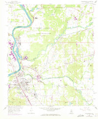
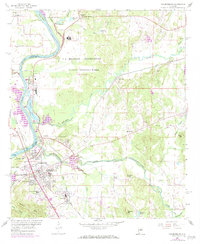
Other maps of this area

1890 · Talladega
USGS Topo · 1:125,000

1892 · Talladega
USGS Topo · 1:125,000

1915 · Gantts Quarry
USGS Topo · 1:48,000

1917 · Gantts Quarry
USGS Topo · 1:62,500

1943 · Talladega
USGS Topo · 1:62,500

1944 · Goodwater
USGS Topo · 1:62,500

1946 · Talladega
USGS Topo · 1:62,500

1947 · Goodwater
USGS Topo · 1:62,500

1951 · Vincent
USGS Topo · 1:24,000

1951 · Laniers
USGS Topo · 1:24,000