
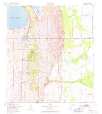
1953 Map of Childs
USGS Topo · Published 1955About this map
The Archbold Biological Station anchors the landscape of central Highlands County in the early 1950s, highlighting a significant transition from the sandy ridges of the Lake Wales Ridge to the eastern wetlands. The Atlantic Coast Line railroad runs north-south, providing a backbone for small settlements like Childs and Hicoria, while Childs Station serves as a critical transport node near the southern tip of Lake Placid.
Find a feature on this map
21 named features on this map. Tap any name to fly to it.
Don’t see what you’re looking for? This feature index may not catch every label — zoom into the map to look around manually.
Map Details
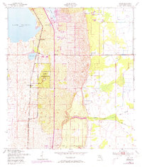
Editions of this 1953 Childs Map
3 editions found
Other maps of this area

1952 · Lake Placid
USGS Topo · 1:24,000

1953 · Brighton NW
USGS Topo · 1:24,000

1953 · Lake June In Winter
USGS Topo · 1:24,000

1953 · Brighton SW
USGS Topo · 1:24,000

1953 · Venus NW
USGS Topo · 1:24,000

1953 · Basinger SW
USGS Topo · 1:24,000

1956 · Fort Pierce
USGS Topo · 1:250,000

1957 · Venus
USGS Topo · 1:24,000

1957 · Venus SW
USGS Topo · 1:24,000

1958 · Fort Pierce
USGS Topo · 1:250,000