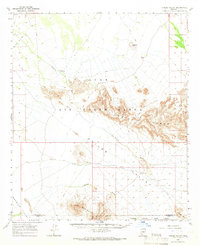
1965 Map of Childs Valley
USGS Topo · Published 1966About this map
Luke Air Force Range dominates the northern half of this landscape, where the jagged topography of the Crater Range creates a natural barrier across the desert floor. During the mid-1960s, this region of the Sonoran Desert served as a critical military training ground and wildlife refuge. The map illustrates a sparse water network, where drainage is defined by Tenmile Wash and Daniels Arroyo, cutting through the vast Childs Valley. Evidence of early cattle ranching or transit is found at Paddit Well (Dry) and Okie Well (Dry), both listed as dry by the time of the 1961 aerial photography. To the south, the Cabeza Prieta Game Range and the Growler Mts provide a stark contrast to the valley floor, connected only by scattered jeep trails and the high point of Malpais Hill.
Find a feature on this map
15 named features on this map. Tap any name to fly to it.
Don’t see what you’re looking for? This feature index may not catch every label — zoom into the map to look around manually.
Map Details
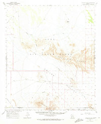
Editions of this 1965 Childs Valley Map
2 editions found
Other maps of this area

1927 · Aguila Mountains
USGS Topo · 1:48,000

1929 · Aztec
USGS Topo · 1:62,500

1930 · Aguila Mountains
USGS Topo · 1:62,500

1932 · Ajo
USGS Topo · 1:62,500

1934 · Ajo
USGS Topo · 1:62,500

1949 · Sentinel
USGS Topo · 1:62,500

1950 · Sentinel
USGS Topo · 1:62,500

1950 · Theba
USGS Topo · 1:62,500

1950 · Aztec
USGS Topo · 1:62,500

1951 · Theba
USGS Topo · 1:62,500