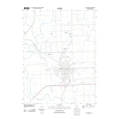
2012 Map of Chillicothe
USGS Topo · Published 2012About this map
Chillicothe serves as the regional hub at the confluence of several significant waterways in Livingston County. The landscape is defined by the Grand River and the Thompson River, which meander through the western and southern reaches of the quadrangle. This 2012 survey illustrates the extensive network of managed water resources in the area, marked by numerous named impoundments including Number 56 Lake and the Litton Lake North and South Dams.
Find a feature on this map
64 named features on this map. Tap any name to fly to it.
Don’t see what you’re looking for? This feature index may not catch every label — zoom into the map to look around manually.
Map Details
Editions of this 2012 Chillicothe Map
This is the sole edition of this map. No revisions or reprints were ever made.
Other maps of this area

1921 · Chillicothe
USGS Topo · 1:62,500

1923 · Chillicothe
USGS Topo · 1:62,500

1924 · Dawn
USGS Topo · 1:62,500

1924 · Chula
USGS Topo · 1:62,500

1924 · Hale
USGS Topo · 1:62,500

1947 · Chula
USGS Topo · 1:62,500

1951 · Utica
USGS Topo · 1:62,500

1951 · Hale
USGS Topo · 1:62,500

1953 · Moberly
USGS Topo · 1:250,000

1954 · Moberly
USGS Topo · 1:250,000