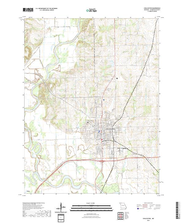
2021 Map of Chillicothe
USGS Topo · Published 2021About this map
The confluence of the Thompson River and the Grand River south of Chillicothe shapes the geography of this Missouri river valley landscape. As the seat of Livingston County, the downtown area is anchored by the Livingston County Courthouse, surrounded by an established grid of streets such as E Jackson St and E Polk St. The map illustrates the town's northward expansion toward Edgewood Cem and the surrounding drainage network that includes Coon Cr, Owl Cr, and Crooked Cr.
Find a feature on this map
30 named features on this map. Tap any name to fly to it.
Don’t see what you’re looking for? This feature index may not catch every label — zoom into the map to look around manually.
Map Details
Editions of this 2021 Chillicothe Map
This is the sole edition of this map. No revisions or reprints were ever made.
Other maps of this area

1921 · Chillicothe
USGS Topo · 1:62,500

1923 · Chillicothe
USGS Topo · 1:62,500

1924 · Dawn
USGS Topo · 1:62,500

1924 · Chula
USGS Topo · 1:62,500

1924 · Hale
USGS Topo · 1:62,500

1947 · Chula
USGS Topo · 1:62,500

1951 · Utica
USGS Topo · 1:62,500

1951 · Hale
USGS Topo · 1:62,500

1953 · Moberly
USGS Topo · 1:250,000

1954 · Moberly
USGS Topo · 1:250,000