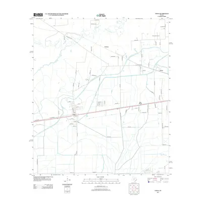
2013 Map of China
USGS Topo · Published 2013About this map
China and its neighboring settlements of Pine Island and Westbury occupy a landscape deeply shaped by water management and transit. In this 2013 record, the intricate system of the Lower Neches Valley Authority Canal and the Gallier Canal bisect the terrain, supporting the agricultural needs of Jefferson County. To the north, the winding course of Pine Island Bayou and its tributary Cotton Cr provide a natural contrast to the geometric grid of irrigation channels. Transport is anchored by historical routes such as Old Beaumont Rd and Old Sour Lake Rd, while local aviation is represented by Stonecipher Airport. The map captures the transition from the concentrated residential streets of China to the broader rural holdings along Bayou Din and family-named routes like Maness Rd and Sturrock Rd.
Find a feature on this map
79 named features on this map. Tap any name to fly to it.
Don’t see what you’re looking for? This feature index may not catch every label — zoom into the map to look around manually.
Map Details
Editions of this 2013 China Map
This is the sole edition of this map. No revisions or reprints were ever made.
Other maps of this area

1932 · Beaumont
USGS Topo · 1:62,500

1943 · Fannett East
USGS Topo · 1:24,000

1945 · Fannett East
USGS Topo · 1:31,680

1945 · Nolte
USGS Topo · 1:31,680

1950 · Houston
USGS Topo · 1:250,000

1954 · Beaumont
USGS Topo · 1:250,000

1955 · Sour Lake
USGS Topo · 1:62,500

1956 · Houston
USGS Topo · 1:250,000

1957 · Beaumont
USGS Topo · 1:250,000
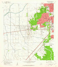
1960 · Beaumont West
USGS Topo · 1:24,000