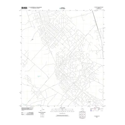
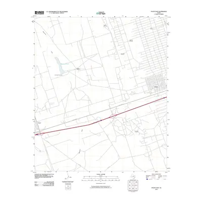
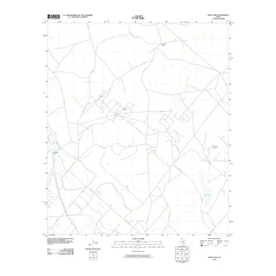
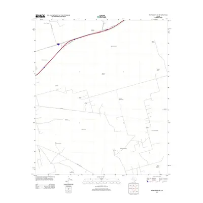
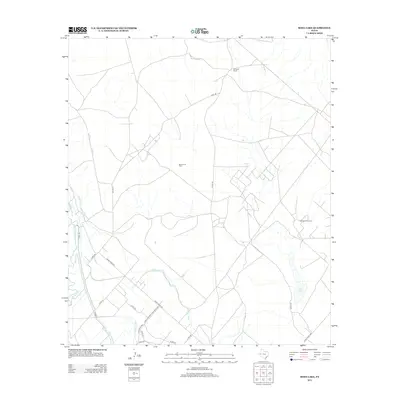
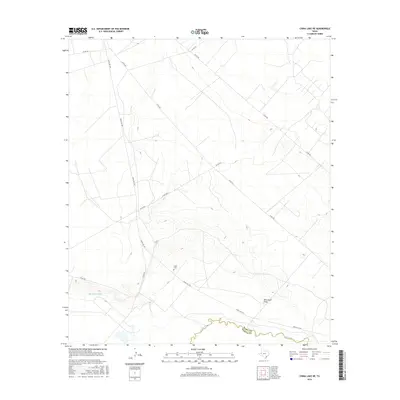
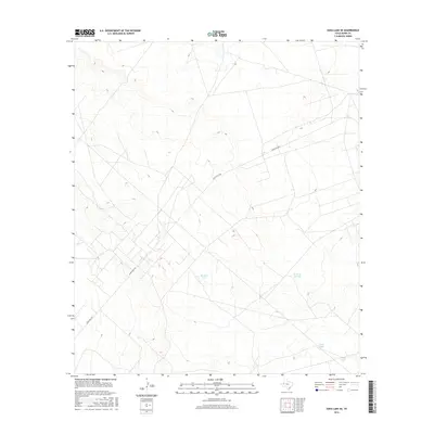
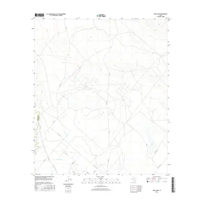
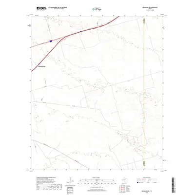
1963 Map of China Lake NE
USGS Topo · Published 1981About this map
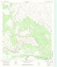
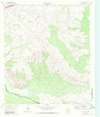
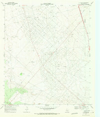
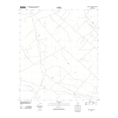
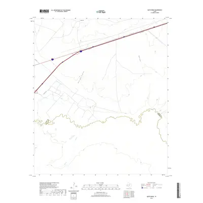
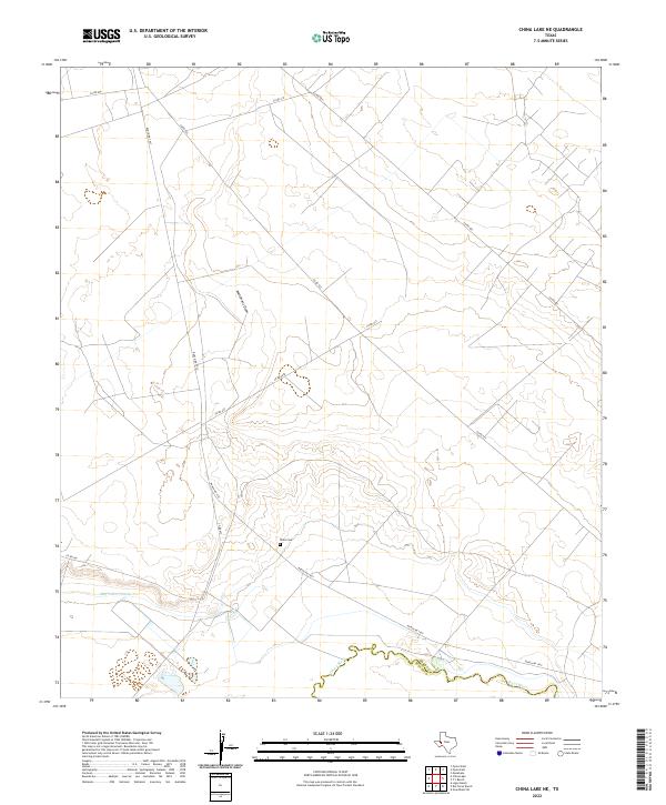
The Pecos River serves as the primary geographical boundary on this 1963 survey, dividing Reeves Co and Ward Co in a landscape dominated by arid water management and resource extraction. The map reveals a complex infrastructure of pipelines and an aqueduct that crisscross the terrain, reflecting the mid-century industrial development of West Texas. Settlement traces are sparse but significant for genealogy, notably Wills Cem located near the riverbank. Named water sources such as Lochaby Well and Smith Well punctuate the dry draws, while larger features like Monument Draw and Big Valley Draw define the local topography. The presence of Spencer Field and a Gravel Pit further illustrate the land use during this era of regional growth.
Find a feature on this map
17 named features on this map. Tap any name to fly to it.
Don’t see what you’re looking for? This feature index may not catch every label — zoom into the map to look around manually.
Map Details
Editions of this 1963 China Lake NE Map
Historical Maps of Reeves County Through Time
60 maps found
1961 Soda Lake
Ward County, TX
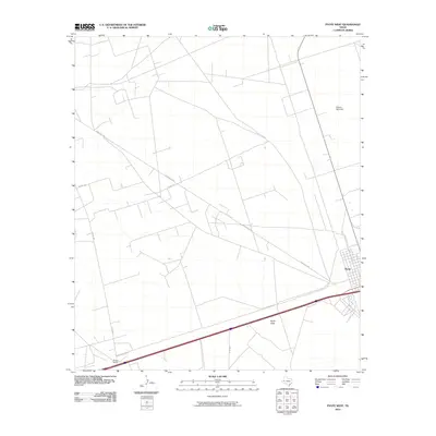
1963 China Lake NE
Ward County, TX
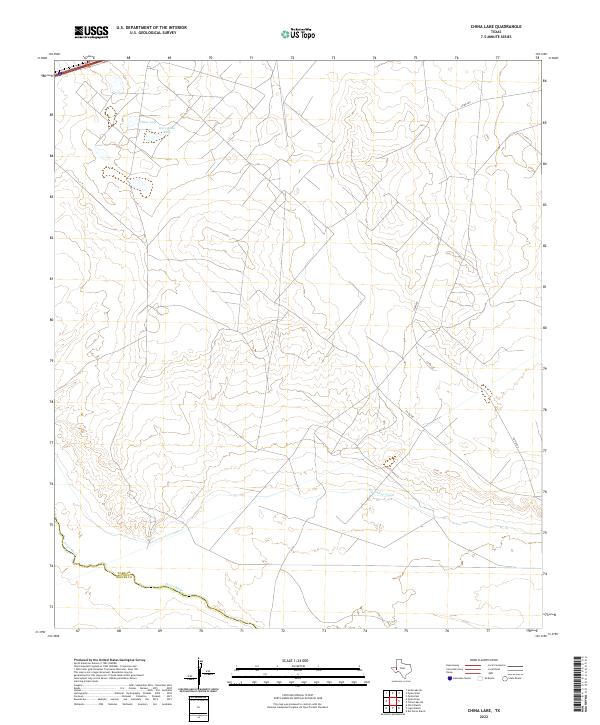
1963 China Lake
Ward County, TX
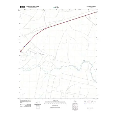
1963 Quito Draw
Ward County, TX
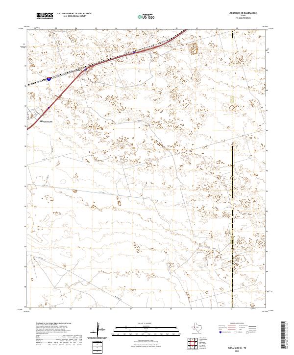
1968 Monahans SE
Ward County, TX
1968 Soda Lake SE
Ward County, TX
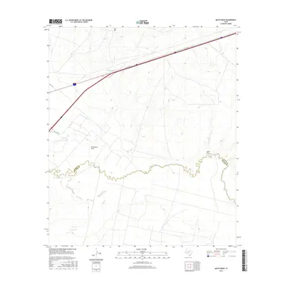
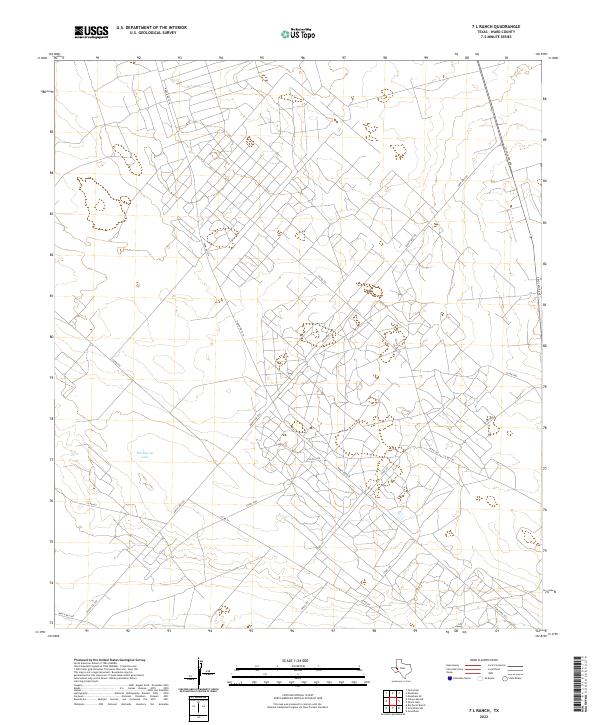
1969 7 L Ranch
Ward County, TX
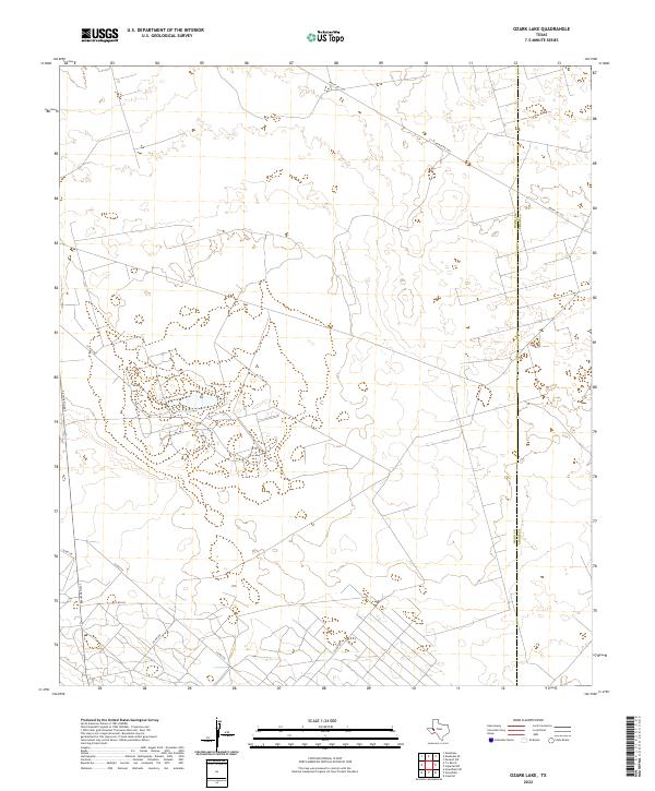
1969 Ozark Lake
Ward County, TX
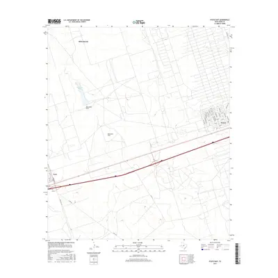
1969 Pyote East
Ward County, TX
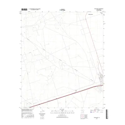
1969 Pyote West
Ward County, TX
2010 7 L Ranch
Ward County, TX
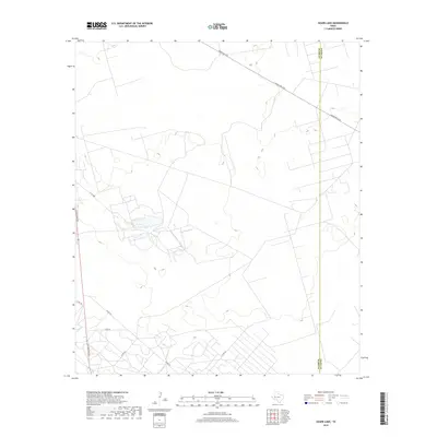
2010 China Lake NE
Ward County, TX
2010 China Lake
Ward County, TX

2010 Monahans SE
Ward County, TX
2010 Ozark Lake
Ward County, TX
2010 Pyote East
Ward County, TX
2010 Pyote West
Ward County, TX
2010 Quito Draw
Ward County, TX
2010 Soda Lake SE
Ward County, TX
2010 Soda Lake
Ward County, TX
2012 7 L Ranch
Ward County, TX
2012 China Lake NE
Ward County, TX
2012 China Lake
Ward County, TX
2012 Monahans SE
Ward County, TX
2012 Ozark Lake
Ward County, TX
2012 Pyote West
Ward County, TX
2012 Quito Draw
Ward County, TX
2012 Soda Lake
Ward County, TX
2013 Pyote East
Ward County, TX
2013 Soda Lake SE
Ward County, TX
2016 7 L Ranch
Ward County, TX
2016 China Lake NE
Ward County, TX
2016 China Lake
Ward County, TX
2016 Monahans SE
Ward County, TX
2016 Ozark Lake
Ward County, TX
2016 Pyote East
Ward County, TX
2016 Pyote West
Ward County, TX
2016 Quito Draw
Ward County, TX
2016 Soda Lake SE
Ward County, TX
2016 Soda Lake
Ward County, TX
2019 7 L Ranch
Ward County, TX
2019 China Lake NE
Ward County, TX
2019 China Lake
Ward County, TX
2019 Monahans SE
Ward County, TX
2019 Ozark Lake
Ward County, TX
2019 Pyote East
Ward County, TX
2019 Pyote West
Ward County, TX
2019 Quito Draw
Ward County, TX
2019 Soda Lake SE
Ward County, TX
2019 Soda Lake
Ward County, TX
2022 7 L Ranch
Ward County, TX
2022 China Lake NE
Ward County, TX
2022 China Lake
Ward County, TX
2022 Monahans SE
Ward County, TX
2022 Ozark Lake
Ward County, TX
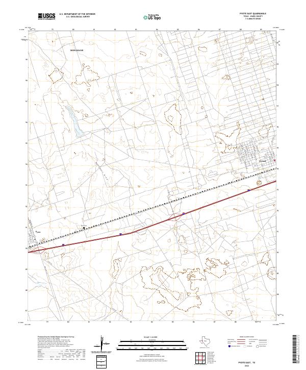
2022 Pyote East
Ward County, TX
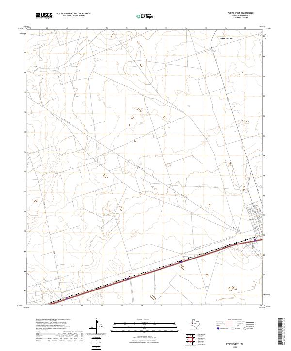
2022 Pyote West
Ward County, TX
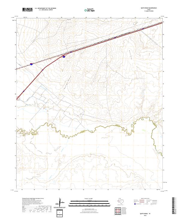
2022 Quito Draw
Ward County, TX
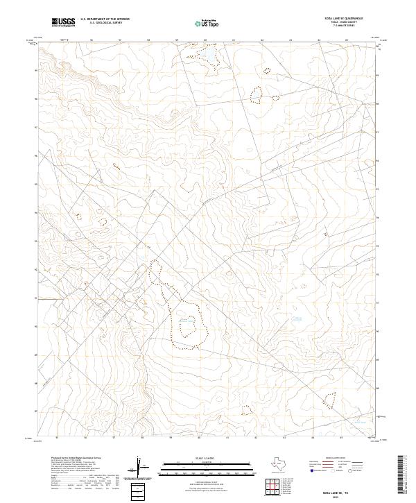
2022 Soda Lake SE
Ward County, TX
2022 Soda Lake
Ward County, TX