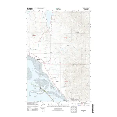
2014 Map of Chinook
USGS Topo · Published 2014About this map
Chinook and the adjacent shoreline of the Columbia River define this Pacific County landscape, where the maritime economy meets the timbered slopes of Bear River Ridge. The map details the transition from the tidal flats of Baker Bay to the rising terrain of Scarboro Hill, showing the critical infrastructure required for navigation near the river's mouth, including the Chinook Jetty and the Sand Island Dike Light. Inland, the settlement pattern is characterized by established family holdings such as Kyle Ranch, Goulter Ranch, and Gile Ranch, which are connected by a network of rural routes like Chinook Valley Rd. Portions of the Lewis and Clark National and State Historical Parks are also visible, marking the area's significance to early continental exploration. The map provides a thorough view of the coastal marshlands around Greenhead Slough and the winding course of the Wallacut River.
Find a feature on this map
47 named features on this map. Tap any name to fly to it.
Don’t see what you’re looking for? This feature index may not catch every label — zoom into the map to look around manually.
Map Details
Editions of this 2014 Chinook Map
This is the sole edition of this map. No revisions or reprints were ever made.
Other maps of this area

1919 · Astoria
USGS Topo · 1:62,500

1938 · Cape Disappointment
USGS Topo · 1:62,500

1938 · Fort Columbia
USGS Topo · 1:62,500

1939 · Astoria
USGS Topo · 1:62,500

1943 · Fort Columbia
USGS Topo · 1:62,500

1943 · Copalis Beach
USGS Topo · 1:250,000

1949 · Astoria
USGS Topo · 1:24,000

1949 · Chinook
USGS Topo · 1:24,000

1949 · Oman Ranch
USGS Topo · 1:24,000

1949 · Knappton
USGS Topo · 1:24,000