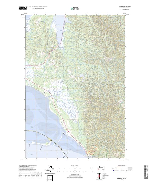
2023 Map of Chinook
USGS Topo · Published 2023About this map
Chinook and Stringtown sit at the northern edge of the Columbia River's mouth, where the river meets the vast waters of Baker Bay. This landscape is defined by the transition from the high elevations of Bear River Ridge and Scarboro Hill down to the complex estuarine environments of the Willapa National Wildlife Refuge. The map reveals a sophisticated network of water and land, from the Wallacut River and Chinook River to the engineered Chinook Dike Rd protecting the low-lying settlements.
Find a feature on this map
38 named features on this map. Tap any name to fly to it.
Don’t see what you’re looking for? This feature index may not catch every label — zoom into the map to look around manually.
Map Details
Editions of this 2023 Chinook Map
This is the sole edition of this map. No revisions or reprints were ever made.
Other maps of this area

1919 · Astoria
USGS Topo · 1:62,500

1938 · Cape Disappointment
USGS Topo · 1:62,500

1938 · Fort Columbia
USGS Topo · 1:62,500

1939 · Astoria
USGS Topo · 1:62,500

1943 · Fort Columbia
USGS Topo · 1:62,500

1943 · Copalis Beach
USGS Topo · 1:250,000

1949 · Astoria
USGS Topo · 1:24,000

1949 · Chinook
USGS Topo · 1:24,000

1949 · Oman Ranch
USGS Topo · 1:24,000

1949 · Knappton
USGS Topo · 1:24,000