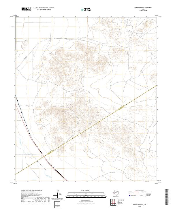
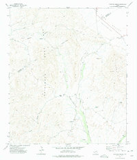
2022 Map of Chispa Mountain
USGS Topo · Published 2022About this map
Chispa Mtn anchors this Trans-Pecos landscape where the high desert terrain of the Lobo Valley meets the foothills of west Texas. The sheet is defined by its ranching infrastructure and remote drainage systems, following the diagonal line of the Culberson and Jeff Davis County border. Transportation routes such as Chispa Rd and Chispa HQ Rd provide access to the interior, while Ranch Rd 1523 skirts the western edge of the highlands. Significant watercourses, including Wild Horse Cr and Wild Horse Draw, illustrate the vital role of seasonal drainage in this arid environment. The map offers a detailed view of the high-elevation contours and the network of private roads like Lobo Garden Ranch Rd that connect isolated properties across the rugged valley floor.
Find a feature on this map
12 named features on this map. Tap any name to fly to it.
Don’t see what you’re looking for? This feature index may not catch every label — zoom into the map to look around manually.
Map Details
Editions of this 2022 Chispa Mountain Map
This is the sole edition of this map. No revisions or reprints were ever made.
Other maps of this area

1892 · Chispa
USGS Topo · 1:125,000

1895 · Chispa
USGS Topo · 1:125,000

1897 · Chispa
USGS Topo · 1:125,000

1959 · Marfa
USGS Topo · 1:250,000

1965 · Marfa
USGS Topo · 1:250,000
1972 · Chispa Mountain NW
USGS Topo · 1:24,000
1972 · Van Horn Wells
USGS Topo · 1:24,000
1972 · Lobo
USGS Topo · 1:24,000

1972 · Chispa
USGS Topo · 1:24,000
1972 · Ninetysix Ranch
USGS Topo · 1:24,000