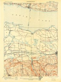
1902 Map of Chittenango
USGS Topo · Published 1905About this map
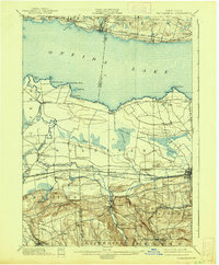
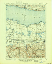
Erie Canal transit and heavy rail infrastructure dominate the Madison County landscape at the turn of the century, following the southern shoreline of Oneida Lake. This survey illustrates a complex intersection of late-19th-century transport, where the New York Central and Hudson River R. R. and the West Shore R. R. run parallel to the historic canal, fueling the growth of hubs like Canastota and Chittenango. The map captures the specialized agricultural and residential pockets of the era, from the inland Fyler Settlement to the resort character of Chittenango Springs.
Find a feature on this map
72 named features on this map. Tap any name to fly to it.
Don’t see what you’re looking for? This feature index may not catch every label — zoom into the map to look around manually.
Map Details
Editions of this 1902 Chittenango Map
7 editions found
Other maps of this area

1895 · Chittenango
USGS Topo · 1:62,500

1895 · Syracuse
USGS Topo · 1:62,500

1895 · Oneida
USGS Topo · 1:62,500

1897 · Cazenovia
USGS Topo · 1:62,500

1898 · Oneida
USGS Topo · 1:62,500

1898 · Syracuse
USGS Topo · 1:62,500

1898 · Chittenango
USGS Topo · 1:62,500

1899 · Cazenovia
USGS Topo · 1:62,500

1900 · Tully
USGS Topo · 1:62,500

1902 · Chittenango
USGS Topo · 1:62,500