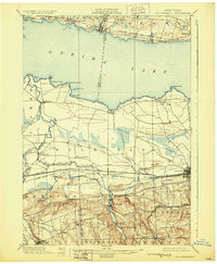
1902 Map of Chittenango
USGS Topo · Published 1930About this map
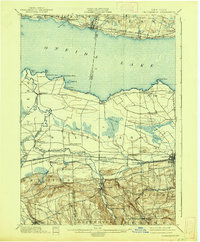
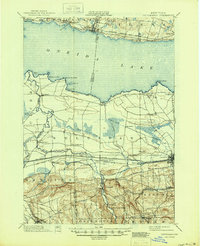
Oneida Lake dominates the northern half of this central New York landscape, its southern shore lined with early twentieth-century landings and rail stops like Lakeport and South Bay. The interior is defined by a dense transportation corridor where the Erie Canal runs parallel to the New York Central and Hudson River R. R. and the West Shore R. R. through Canastota and Chittenango Station.
Find a feature on this map
67 named features on this map. Tap any name to fly to it.
Don’t see what you’re looking for? This feature index may not catch every label — zoom into the map to look around manually.
Map Details
Editions of this 1902 Chittenango Map
7 editions found
Other maps of this area

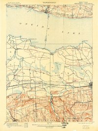
1895 · Chittenango
USGS Topo · 1:62,500

1895 · Syracuse
USGS Topo · 1:62,500

1895 · Oneida
USGS Topo · 1:62,500

1897 · Cazenovia
USGS Topo · 1:62,500

1898 · Oneida
USGS Topo · 1:62,500

1898 · Syracuse
USGS Topo · 1:62,500

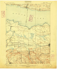
1898 · Chittenango
USGS Topo · 1:62,500

1899 · Cazenovia
USGS Topo · 1:62,500

1900 · Tully
USGS Topo · 1:62,500

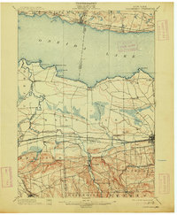
1902 · Chittenango
USGS Topo · 1:62,500