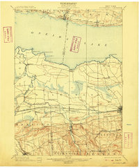
1902 Map of Chittenango
USGS Topo · Published 1909About this map
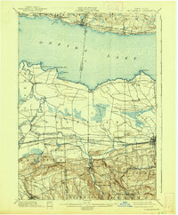
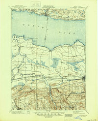
The Erie Canal and Chenango Canal serve as the industrial backbone of this Central New York landscape at the turn of the century. Running parallel to the active canal waters are the major rail corridors of the West Shore R. R. and the New York Central and Hudson River R. R., highlighting a period when both water and rail transportation were vital to local commerce. The map centers on the southern shores of Oneida Lake, where shoreline settlements like Bernhard Bay and Cleveland contrast with the rugged terrain to the south, where Eagle Hill and Chittenango Springs dominate the elevation. Between the lake and the highlands, a complex drainage system of creeks and man-made channels like Douglas Ditch reveals the agricultural reclamation of the land near Cicero Swamp. Notable hamlets such as Fyler Settlement and Quality Hill provide important markers for genealogists tracing late 19th-century residents.
Find a feature on this map
70 named features on this map. Tap any name to fly to it.
Don’t see what you’re looking for? This feature index may not catch every label — zoom into the map to look around manually.
Map Details
Editions of this 1902 Chittenango Map
7 editions found
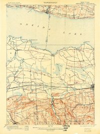
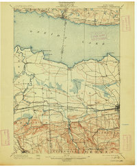
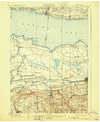
Other maps of this area

1895 · Chittenango
USGS Topo · 1:62,500

1895 · Syracuse
USGS Topo · 1:62,500

1895 · Oneida
USGS Topo · 1:62,500

1897 · Cazenovia
USGS Topo · 1:62,500

1898 · Oneida
USGS Topo · 1:62,500

1898 · Syracuse
USGS Topo · 1:62,500

1898 · Chittenango
USGS Topo · 1:62,500

1899 · Cazenovia
USGS Topo · 1:62,500

1900 · Tully
USGS Topo · 1:62,500

1902 · Chittenango
USGS Topo · 1:62,500